Fontenelle Reservoir Reservoir
As of July 21, 2026, Fontenelle Reservoir is holding 274,868 acre-ft of water — 175% of normal storage for this date. Storage data refreshed throughout the day.

Fontenelle Reservoir
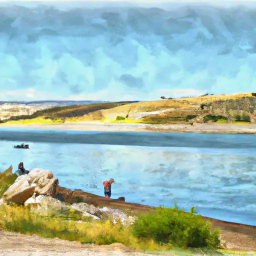
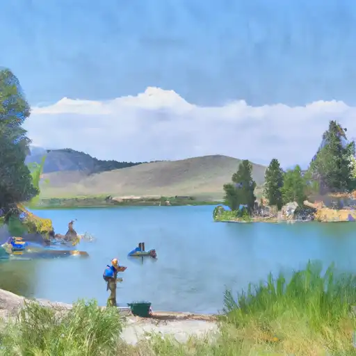
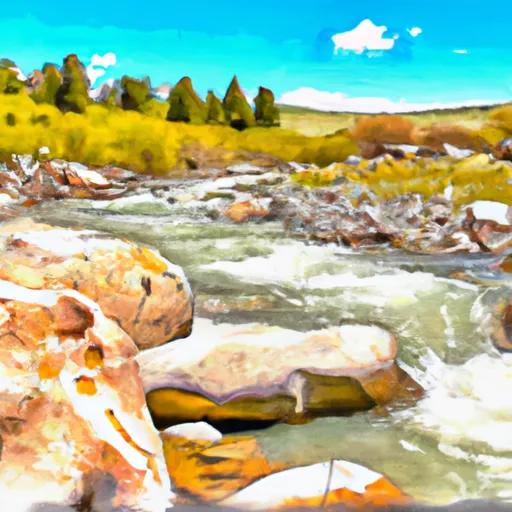
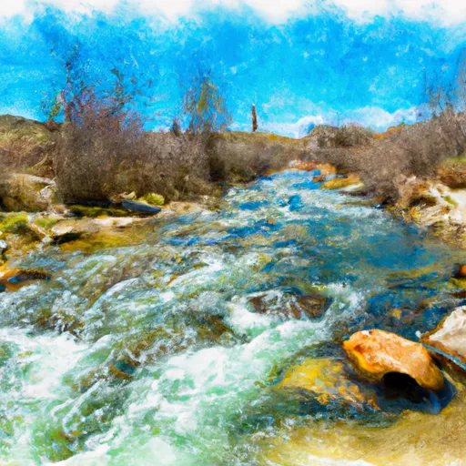
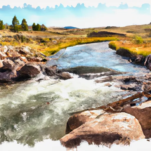
Fontenelle Reservoir is a man-made lake situated in southwestern Wyoming. It was created in 1958 by the construction of the Fontenelle Dam, which spans the Green River. The reservoir has a capacity of 345,000 acre-feet and provides irrigation and hydroelectric power to the surrounding area. The Green River supplies the reservoir with water, and snowmelt from the nearby Wind River Range contributes to the surface flow. The reservoir is also used for recreational activities such as fishing, boating, and camping. Agriculture is a major user of the water from the reservoir, with crops such as alfalfa, hay, and sugar beets being grown in the surrounding area. The Fontenelle Reservoir is an important source of water for the region and plays a vital role in supporting the local economy.
Daily levels at Fontenelle Reservoir
Storage volume, pool elevation, and total release plotted from the operating agency's daily observations.
Bank storage
acre-feet · code 1
Storage
acre-ft · code 17
Inflow
cfs · code 29
Pool Elevation
ft · code 49
Total Release
cfs · code 42
Plan around the weather
Same NOAA / yr.no feed Snoflo's iOS app uses. Watch the precipitation column on the meteogram -- rain on the basin upstream typically lifts inflow 24-72 hours later.
Next 5 days, hour by hour
Temperature line with weather symbols on top, snow + rain accumulation as columns, humidity as a dotted line.
5-day forecast table
Every 3 hours, broken out across temperature, snow, rain, humidity, and wind. Each cell is colour-coded relative to the column min/max.
| Time | Condition | Temp (°F) | Snow (in) | Rain (in) | Humidity (%) | Wind (mps) | Wind dir |
|---|---|---|---|---|---|---|---|
| Loading detailed forecast… | |||||||
15-day temperature & precipitation
Daily temperatures, snow, and rain projected over the next two weeks.
Nearby streamflow gauges
USGS streamgauges around Fontenelle Reservoir -- inflows here typically show up in storage 24-72 hours later.
| Streamgauge | Discharge | View |
|---|---|---|
| Green River Below Fontenelle Reservoir | 708 cfs | → |
| Green River Near La Barge | 1,450 cfs | → |
| Fontenelle C Nr Herschler Ranch | 30 cfs | → |
| Hams Fork Below Pole Creek | 35 cfs | → |
| Big Sandy River Near Farson | 103 cfs | → |
| New Fork River Near Big Piney | 718 cfs | → |


About Fontenelle Reservoir
Where does the data for Fontenelle Reservoir come from?
Daily storage, pool elevation, and release rates are sourced from USGS, USBR, and USACE monitoring stations. Weather forecast comes from NOAA / yr.no -- the same feed Snoflo's iOS app uses.
How often is the report updated?
Storage observations are updated daily by the operating agency. The 15-day weather forecast refreshes throughout the day. Snoflo caches and renders the most recent observation -- check the "as of" timestamp on the storage card.
What does the Hazard hazard rating mean?
The Corps of Engineers' hazard potential classification grades probable consequences if the dam fails: High = probable loss of human life; Significant = no probable loss of human life but possible economic loss / environmental damage; Low = no probable loss of human life, only minor economic / environmental losses. See the Dam Data Reference card below for the full definitions.
What's "% of normal"?
The current storage value compared to the historical average storage on this calendar day. 100% = right on average; values above 100% mean above-normal storage (wet year); values below mean below-normal (dry year or drought).
Can I get alerts when storage crosses a threshold?
Yes -- alerts are managed in the Snoflo iOS app. Favorite this reservoir, set a threshold, and you'll get a push the moment conditions cross.