Summary
Maximum discharge along the river is currently at the reporting a streamflow rate of cfs. This is also the highest stage along the Cacapon River, with a gauge stage of ft at this location. This river is monitored from 1 different streamgauging stations along the Cacapon River, the highest being situated at an altitude of ft, the .
15-Day Weather Outlook
River Streamflow Levels
| Streamgauge | Streamflow | Gauge Stage | 24hr Change (%) | % Normal | Minimum (cfs) | Maximum (cfs) | Air Temp | Elevation |
|---|---|---|---|---|---|---|---|---|
|
Cacapon River Near Great Cacapon
USGS 01611500 |
104 cfs | 1.53 ft | 21.5 |
Seasonal Discharge Comparison
Maximum Streamflow Discharge
Streamflow Elevation Profile
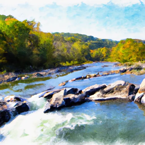
The Cacapon River (locally kə-KAY-pən; meaning Medicine Waters), located in the Appalachian Mountains of West Virginia's Eastern Panhandle region, is an 81.0-mile-long (130.4 km) river known for its fishing, boating, wildlife, and scenery. As part of the Potomac River watershed, it is an American Heritage River.
The Cacapon River Watershed is made up of three major river segments and many smaller stream watersheds. The headwaters of the Cacapon River, known as the Lost River, is 31.1 miles (50.1 km) long and receives water from a watershed covering 178 square miles (460 km2). The largest tributary of the Cacapon is the North River, which drains 206 square miles (530 km2), an area comparable to that of the Lost River. Overall, the Cacapon River watershed includes the Lost and North River watersheds, and those of many smaller streams for a total of 680 square miles (1,800 km2). The Cacapon watershed is itself part of the Chesapeake Bay watershed.
In recent years the Cacapon River and its watershed have become threatened by development, and industrial and agricultural growth. Concern about these issues led to the establishment of the Cacapon Institute in 1985 (originally known as the Pine Cabin Run Ecological Laboratory).

 Begins South Of Largent To The Confluence With The Potomac At Great Cacapon