Summary
Maximum discharge along the river is currently at the reporting a streamflow rate of cfs. This is also the highest stage along the Dearborn River, with a gauge stage of ft at this location. This river is monitored from 1 different streamgauging stations along the Dearborn River, the highest being situated at an altitude of ft, the .
15-Day Weather Outlook
River Streamflow Levels
| Streamgauge | Streamflow | Gauge Stage | 24hr Change (%) | % Normal | Minimum (cfs) | Maximum (cfs) | Air Temp | Elevation |
|---|---|---|---|---|---|---|---|---|
|
Dearborn River Near Craig Mt
USGS 06073500 |
55 cfs | 3.32 ft | -2.33 |
Seasonal Discharge Comparison
Maximum Streamflow Discharge
Streamflow Elevation Profile
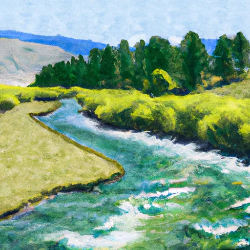
The Dearborn River is a tributary of the Missouri River, approximately 70 mi (113 km) long, in central Montana in the United States. It rises in the Lewis and Clark National Forest, near Scapegoat Mountain in the Lewis and Clark Range of the Rocky Mountains at the continental divide, in western Lewis and Clark County. It flows generally southeast through secluded canyons, and joins the Missouri near Craig.
It is crossed by the Dearborn River High Bridge, which was constructed in 1897.
It is a popular destination for whitewater rafting and fly fishing. Whirling disease has become a significant problem among trout in the river.
The Dearborn is a Class I river for stream access for recreational purposes from the highway 431 bridge to its confluence with the Missouri river.

 Headwaters, Sec. 13, T18N, R10W To Forest Boundary, Sec. 6, T17N, R7W