Summary
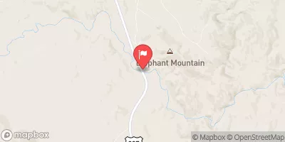
The ideal streamflow range for this run is between 1,000 and 5,000 cubic feet per second (cfs). It is classified as a Class III to IV run, meaning it is moderately difficult with moderate to high waves and rapids. The segment mileage of this run is approximately 15.5 miles, stretching from Headwaters, Sec. 13, T18N, R10W to Forest Boundary, Sec. 6, T17N, R7W.
There are specific river rapids and obstacles to be aware of on this run. One of the most challenging rapids is known as Hell's Half Mile, which is a Class IV rapid with large waves and a narrow chute. Other notable rapids include House Rock, The Maze, and Fang. It is important for paddlers to be experienced and skilled in navigating rapids and avoiding obstacles.
There are also specific regulations in place for this area. The use of motorized watercraft is not allowed, and all paddlers must wear a personal flotation device. Additionally, camping is only allowed in designated areas, and all fires must be contained within established fire rings. It is important for visitors to familiarize themselves with all regulations before embarking on their river trip.
°F
°F
mph
Wind
%
Humidity
15-Day Weather Outlook
River Run Details
| Last Updated | 2026-01-07 |
| River Levels | 1920 cfs (3.8 ft) |
| Percent of Normal | 110% |
| Status | |
| Class Level | iii-iv |
| Elevation | ft |
| Streamflow Discharge | cfs |
| Gauge Height | ft |
| Reporting Streamgage | USGS 06082200 |


 Headwaters, Sec. 13, T18N, R10W To Forest Boundary, Sec. 6, T17N, R7W