2026-04-16T21:00:00-06:00
The National Weather Service in Denver has issued a Fire Weather Watch for wind and low relative humidity, which is in effect from Thursday morning through Thursday evening. * AFFECTED AREA...Fire Weather Zones 214, 216, 241, 245, 246, 247 and 249. * TIMING...From Thursday morning through Thursday evening. * WINDS...Southwest 15 to 25 mph with gusts up to 35 mph. * RELATIVE HUMIDITY...As low as 9 percent. * IMPACTS...Conditions will be favorable for rapid fire spread. Avoid outdoor burning and any activity that may produce a spark and start a wildfire.

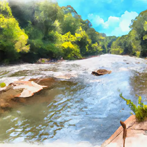
Saluda River
Last Updated: April 15, 2026
Total streamflow across the
Saluda River
was last observed at
3,231
cfs, and is expected to yield approximately
6,409
acre-ft of water today; about 38%
of normal.
River levels are low and may signify a drought.
Average streamflow for this time of year is
8,466 cfs,
with recent peaks last observed
on
2015-10-05 when daily discharge volume was observed at
89,540 cfs.
Maximum discharge along the river is currently at the
Saluda River Near Columbia
reporting a streamflow rate of 861 cfs.
However, the streamgauge with the highest stage along the river is the
Saluda River Near Williamston
with a gauge stage of 3.82 ft.
This river is monitored from 6 different streamgauging stations along the Saluda River, the highest being situated at an altitude of 830 ft, the
Saluda River Near Greenville.
The Saluda River is a major waterway in South Carolina, starting in the Blue Ridge Mountains and flowing 200 miles to the Atlantic Ocean.
15-Day Long Term Forecast
River Details
| Last Updated | 2026-04-14 |
| Discharge Volume | 6,409 ACRE-FT |
| Streamflow |
3,231.0 cfs
Past 24 Hours: +194.0 cfs (+6.39%) |
| Percent of Normal | 38.17% |
| Maximum |
89,540.0 cfs
2015-10-05 |
| Seasonal Avg | 8,466 cfs |
River Streamflow Levels
| Streamgauge | Streamflow | Gauge Stage | 24hr Change (%) | % Normal | Minimum (cfs) | Maximum (cfs) | Air Temp | Elevation |
|---|---|---|---|---|---|---|---|---|
|
Saluda River Near Greenville
USGS 02162500 |
266 cfs | 2.83 ft | -1.48 | |||||
|
Saluda River Near Williamston
USGS 02163001 |
340 cfs | 3.82 ft | 1.19 | |||||
|
Saluda River Near Ware Shoals
USGS 02163500 |
404 cfs | 2.84 ft | 26.28 | |||||
|
Saluda River At Chappells
USGS 02167000 |
449 cfs | 1.97 ft | 17.37 | |||||
|
Saluda River Near Columbia
USGS 02169000 |
861 cfs | 2.43 ft | 2.76 | |||||
|
Saluda River Below Lk Murray Dam Nr Columbia
USGS 02168504 |
764 cfs | 3.66 ft | 0.64 |
Seasonal Discharge Comparison
Maximum Streamflow Discharge
Streamflow Elevation Profile
The Saluda River is a principal tributary of the Congaree River, about 200 mi (320 km) long, in northern and western South Carolina in the United States. Via the Congaree River, it is part of the watershed of the Santee River, which flows to the Atlantic Ocean.

 Continue with Snoflo Premium