
Stevens Pass Ski Area Ski Report
Last Updated: May 7, 2026
Leave a RatingNearby: Yodelin Leavenworth Ski Hill
°F
°F
mph
Wind
%
Humidity
Stevens Pass Ski Area is a popular ski resort located in Washington, United States.
Summary
No new snow to report today, with snowpack levels sitting at 0.0". Weather today, partly sunny, with a high near 60. light west wind increasing to 6 to 11 mph in the morning. winds could gust as high as 25 mph.
15-Day Snow Forecast
Snowfall Accumulations
Snowstake Cam
5-Day Hourly Forecast Detail
Seasonal Comparison
Year over year snow water equivalent
Snow Water Equivalent (SWE) shows how much water the snow holds. This is ideal for year-to-year tracking of real snowfall and water resources. Measurements from Stevens Pass .
Regional Snowpack Depth
Snow levels measured from Stevens Pass
Snowpack depth measures how much snow has accumulated in the area. This is a key indicator of powder quality, trail coverage, and how epic your runs are going to be this season at Stevens Pass Ski Area.
Historical Air Temperature
Temperature fluctuations at Stevens Pass Ski Area
Recent air temperature fluctuations at Stevens Pass Ski Area impact snow quality and stability, from powder to slush.
About this Location
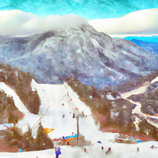
The Stevens Pass Ski Area is located in the Cascade Range in the state of Washington, United States. Some of the pertinent mountain ranges and mountain aspects of the ski resort include:
1. Cascade Range: The ski resort is situated in the Cascade Range, a major mountain range that runs from British Columbia in Canada to northern California in the United States. The Cascade Range is known for its volcanic peaks, rugged terrain, and abundant snowfall, making it a popular destination for skiing and snowboarding.
2. Big Chief Mountain: Big Chief Mountain is a prominent peak located near the ski resort. It offers challenging terrain for advanced skiers and riders, as well as stunning views of the surrounding mountains and valleys.
3. Cowboy Mountain: Cowboy Mountain is another notable peak in the area, known for its steep slopes and challenging runs. It is a favorite among expert skiers and snowboarders looking for adrenaline-pumping descents.
4. Tye Peak: Tye Peak is a popular destination for backcountry skiing and snowboarding, with its vast open bowls and deep powder snow. It offers a more remote and adventurous experience for those seeking a true mountain wilderness escape.
Overall, Stevens Pass Ski Area offers a diverse range of mountain terrain and aspects for skiers and snowboarders of all levels, from gentle slopes for beginners to steep chutes and cliffs for experts. Its location in the Cascade Range provides stunning mountain views and abundant snowfall, making it a premier destination for winter sports enthusiasts.
It offers a wide range of terrain for skiers and snowboarders of all abilities, with some of the best trails being Skyline, Cowboy Ridge, and Big Chief. An interesting fact about the resort is that it was originally used as a railway mountain pass in the early 1900s, but was later converted into a ski area in the 1930s. For beginner skiers, the Daisy and Brooks chairlifts provide gentle slopes to practice on. The Foggy Goggle is a popular après ski bar located at the resort, serving up drinks and food with a cozy atmosphere.
Night Skiing | Yes |
Lift Count | 8 Lifts |
Hourly Lift Capacity | 15800 per hour |
Base Elevation | 1238 Meters |
Terrain Park | Yes |
Acreage | 1125 Acres |
Established | 1937 |
Run Count | 37 Trails |
Stevens Pass Ski Area FAQ
Where does our Stevens Pass Ski Area snow data come from?
This snow report combines on-mountain observations, regional SNOTEL sensors, and weather model data specific to Stevens Pass Ski Area and the surrounding region.
How much snow did Stevens Pass Ski Area receive over the past day?
The ski area received -1" of new snowfall since yesterday.
What's the weather like at Stevens Pass Ski Area today?
Weather today, partly sunny, with a high near 60. light west wind increasing to 6 to 11 mph in the morning. winds could gust as high as 25 mph.
What are some ski resorts near Stevens Pass Ski Area?
Yodelin
Leavenworth Ski Hill
Medallion Peak resort
The Summit at Snoqualmie
Mission Ridge Ski Area

 Cooper Lake Boat Launch
 Continue with Snoflo Premium