
ARIZONA SNOW REPORT
Last Updated: April 24, 2026
Snowpack levels across the state are currently 22% of normal. The deepest snowpack in Arizona was last observed at Mormon Mountain with a snowpack depth of 4”, about 121% of normal when compared to it's 3" average depth for this time of year.
Arizona Ski Area Forecast
Next 15 Days
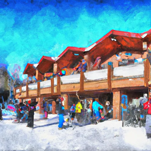 Arizona Snowbowl
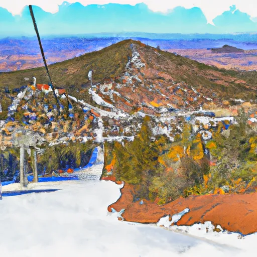 Elk Ridge
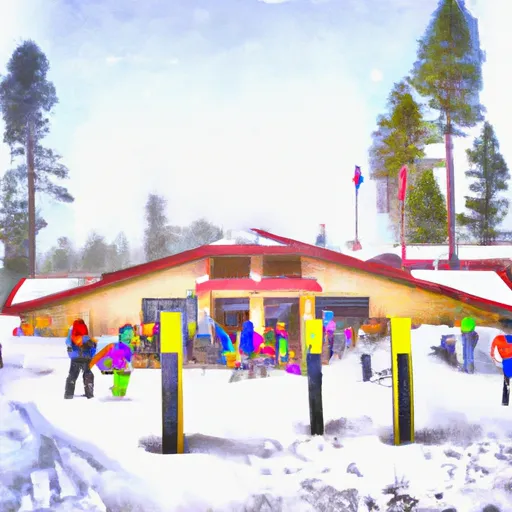 Flagstaff Nordic Center
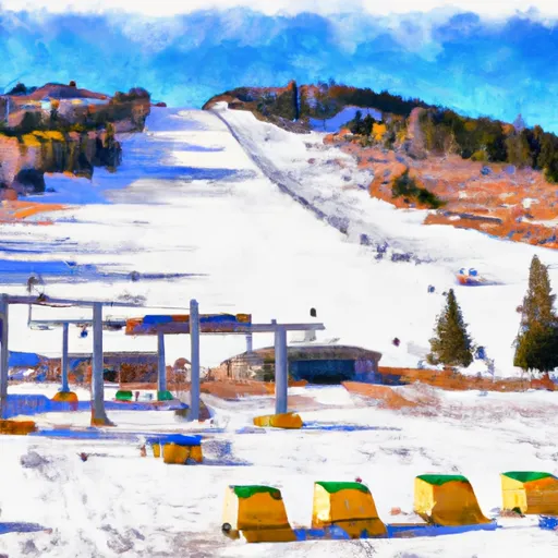
 Mt. Lemmon Ski Valley
 Sunrise Park Resort
Arizona Snow Report FAQs
How often is this report updated?
Daily from SNOTEL and NOAA sources.
What are snowpack levels in Arizona like right now?
Snowpack levels across Arizona are approximately 22.0% of normal compared to previous years.
Where is it coldest in Arizona right now?
Nohrsc Hannagan Meadows is experiencing frigid temperatures of 54°.
Where in Arizona will get the most snowfall this week?
Fort Valley is expected to receive up to 5" of more snowfall over the next 5 days.
Where is the most snow in Arizona today?
Currently at Mormon Mountain with 4".