
ILLINOIS SNOW REPORT
Last Updated: May 2, 2026
Snowpack levels across the state are currently 67% of normal. The deepest snowpack in Illinois was last observed at Nohrsc Atlantic Mine 3.9 Nw with a snowpack depth of 6”, about 73% of normal when compared to it's 9" average depth for this time of year.
Weather Warnings
May 2 2026
LAWRENCE, IL
FLOOD WARNING ISSUED MAY 1 ...
KANE, IL; LAKE, IL; MCHENRY, ...
FLOOD WARNING ISSUED MAY 1 ...
HENRY, IL; ROCK ISLAND, IL; ...
FLOOD WARNING ISSUED MAY 1 ...
CLAY, IL; RICHLAND, IL
FLOOD WARNING ISSUED MAY 1 ...
BROWN, IL; CASS, IL; MORGAN, ...
FLOOD WARNING ISSUED MAY 1 ...
CASS, IL; FULTON, IL; MASON, ...
FLOOD WARNING ISSUED MAY 1 ...
Illinois Ski Area Forecast
Next 15 Days
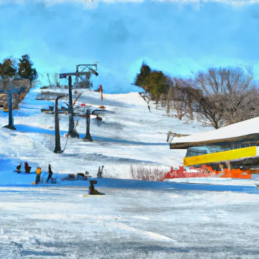
 Chestnut Mountain Resort
 Four Lakes Village
 Ski Snowstar
Illinois Snow Report FAQs
How often is this report updated?
Daily from SNOTEL and NOAA sources.
What are snowpack levels in Illinois like right now?
Snowpack levels across Illinois are approximately 67.0% of normal compared to previous years.
Where is it coldest in Illinois right now?
Nohrsc Atlantic Mine 3.9 Nw is experiencing frigid temperatures of 34°.
Where is the most snow in Illinois today?
Currently at Nohrsc Atlantic Mine 3.9 Nw with 6".