
Summary
The climate in this area is hot and humid during the summer months, with temperatures often reaching into the 90s. During the winter, temperatures are milder, with occasional freezing conditions. The hydrology constituents in Clinton include the Pearl River, which runs along the eastern boundary of the city. Outdoor recreation opportunities in the area include a number of parks and nature trails, as well as fishing and boating on the Pearl River. Other popular activities include golfing, hunting, and camping. Overall, Clinton offers a range of opportunities for outdoor enthusiasts to enjoy the natural beauty of Mississippi while also taking advantage of its many amenities and attractions.
°F
°F
mph
Wind
%
Humidity
15-Day Weather Outlook
5-Day Hourly Forecast Detail
Clinton receives approximately 1438mm of rain per year, with humidity levels near 90% and air temperatures averaging around 18°C. Clinton has a plant hardyness factor of 8, meaning plants and agriculture in this region tend to thrive here all year round.
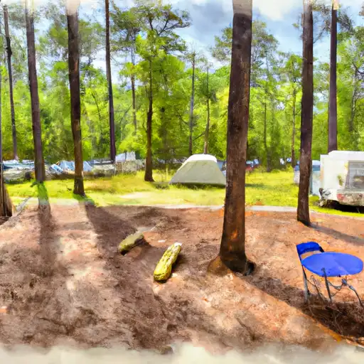
Area Campgrounds
| Location | Reservations | Toilets |
|---|---|---|
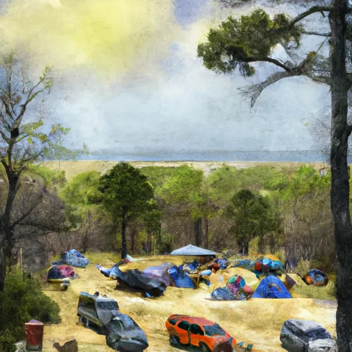 Lefleurs Bluff State Park
|
||
 Lefleur's Bluff State Park
|
||
 Mississippi Petrified Forest
|
 Traceway Park
 Jackson Zoological Park
 Flowers Park
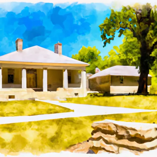 Medgar and Myrlie Evans Home National Monument
 Shepard Brothers Park