Littleton

Climate Recreation Community Catastrophe

Littleton
Eden Index

Climate 8.8 Recreation 5.8 Community 4.0 Safeguard

6.5/10

Littleton, Colorado, located in Arapahoe County, is a charming city with a diverse climate and an abundance of outdoor recreation opportunities. The climate in Littleton is characterized by four distinct seasons. Summers are warm with temperatures ranging from the mid-80s to low 90s Fahrenheit, while winters are cold, with temperatures typically ranging from the low 20s to mid-40s Fahrenheit. Littleton experiences moderate precipitation throughout the year, with an average rainfall of 17 inches and 69 inches of snowfall annually.

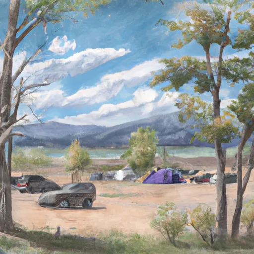
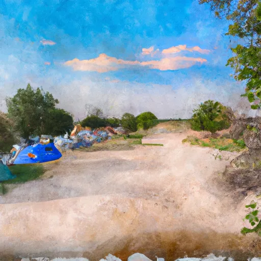
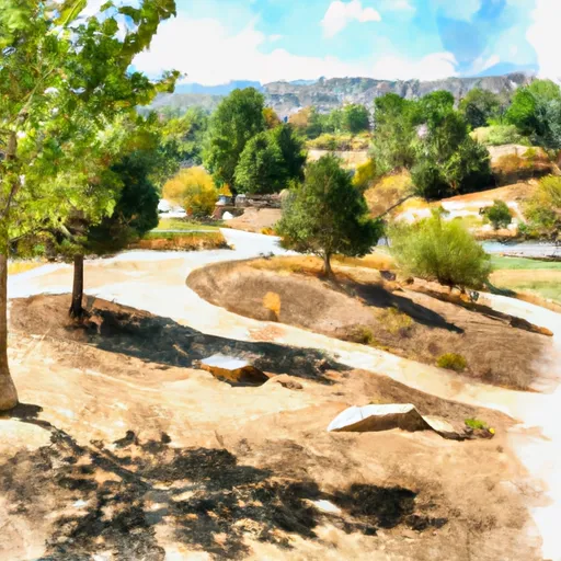
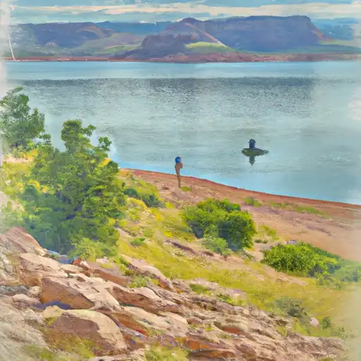
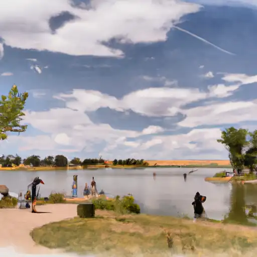
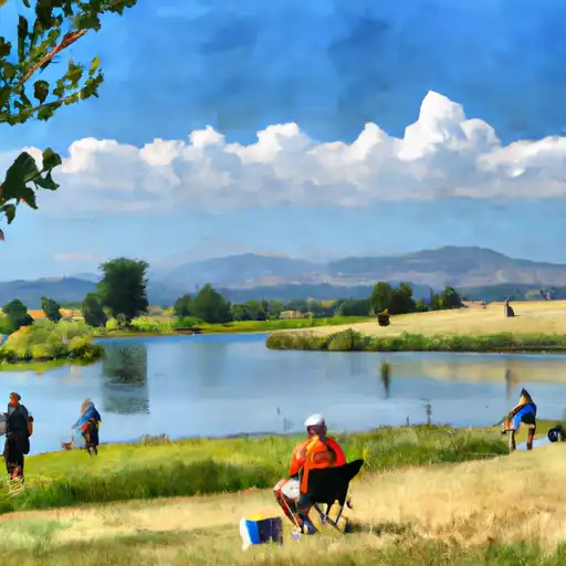
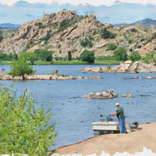
Littleton benefits from its proximity to the South Platte River, which flows through the city, providing scenic beauty and recreational opportunities. The hydrology constituents in Littleton include various streams, creeks, and reservoirs that offer opportunities for fishing, kayaking, and other water-based activities. Chatfield State Park and Roxborough State Park are popular destinations for outdoor enthusiasts, offering hiking, biking, camping, and wildlife watching opportunities.

Overall, Littleton's diverse climate and numerous hydrology constituents make it an ideal location for outdoor recreation enthusiasts, providing a range of activities to enjoy throughout the year.

What is the Eden Index?

The Snoflo Eden Index serves as a comprehensive rating system for regions, evaluating their desirability through a holistic assessment of climate health, outdoor recreation opportunities, and natural disaster risk, acknowledging the profound impact of these factors on livability and well-being.


Climate Health Indicator (CHI): 8.8


Littleton receives approximately 416mm of rain per year, with humidity levels near 50% and air temperatures averaging around 11°C. Littleton has a plant hardyness factor of 5, meaning plants and agriculture in this region thrive during a short period during spring and early summer. Most plants will die off during the colder winter months. By considering the ideal temperature range, reliable water supplies, clean air, and stable seasonal rain or snowpacks, the Climate Health Indicator (CHI) underscores the significance of a healthy climate as the foundation for quality living.

A healthy climate is paramount for ensuring a high quality of life and livability in a region, fostering both physical well-being and environmental harmony. This can be characterized by ideal temperatures, reliable access to water supplies, clean air, and consistent seasonal rain or snowpacks.


Weather Forecast


Streamflow Conditions

South Platte

Area Rivers

South Platte


Snowpack Depths

South Platte


Reservoir Storage Capacity

South Platte


Groundwater Levels


Recreational Opportunity Index (ROI): 5.8


The Recreational Opportunity Index (ROI) recognizes the value of outdoor recreational options, such as parks, hiking trails, camping sites, and fishing spots, while acknowledging that climate plays a pivotal role in ensuring the comfort and consistency of these experiences. Access to outdoor recreational opportunities, encompassing activities such as parks, hiking, camping, and fishing, is crucial for overall well-being, and the climate plays a pivotal role in enabling and enhancing these experiences, ensuring that individuals can engage in nature-based activities comfortably and consistently.


Camping Areas

Campground Campsites Reservations Toilets Showers Elevation
Union Reservoir 42 4,957 ft
Painted Rocks 18 7,836 ft
Farish Military - USAF Academy None 9,083 ft
Mueller State Park 90 9,313 ft
The Crags 17 10,120 ft
Cherry Creek State Park 102 5,646 ft
Boyd Lake State Park 148 4,991 ft
Standley Lake None 5,530 ft
Meadow Ridge 19 9,177 ft
South Meadows 64 7,897 ft
Carter Lake - North Side Campgrounds None 5,792 ft
Missile Site Park 12 4,942 ft
Flat Rocks 19 8,245 ft
Chatfield State Park 193 5,494 ft
Bear Creek Lake Park 52 5,693 ft
Devils Head 21 8,856 ft
Boulder County Fairground None 4,974 ft
Trail Creek None 7,844 ft
Ouzel 13 6,285 ft
St. Vrain State Park 87 4,850 ft
Peregrine Pines Military - USAF Academy None 6,631 ft
Jackson Creek 9 8,179 ft
Colorado 81 7,806 ft
Springdale 13 9,304 ft
Indian Creek 11 7,562 ft
Osprey 13 6,217 ft
Carter Lake - South Side Campgrounds None 5,711 ft
Thunder Ridge 21 9,216 ft
Platte River 10 6,333 ft

Catastrophe Safeguard Index (CSI):


The Catastrophe Safeguard Index (CSI) recognizes that natural disaster risk, encompassing floods, fires, hurricanes, and tornadoes, can drastically affect safety and the overall appeal of an area. The level of natural disaster risk in a region significantly affects safety and the overall livability, with climate change amplifying these risks by potentially increasing the frequency and intensity of events like floods, fires, hurricanes, and tornadoes, thereby posing substantial challenges to community resilience and well-being.


Community Resilience Indicator (CRI): 4.0


The Community Resilience Indicator (CRI) recognizes that education, healthcare, and socioeconomics are crucial to the well-being of a region. The CRI acknowledges the profound impact of these elements on residents' overall quality of life. By evaluating educational resources, healthcare accessibility, and economic inclusivity, the index captures the essential aspects that contribute to a thriving community, fostering resident satisfaction, equity, and social cohesion.


Log Your Visit

When was your last visit to ?

Add a Photo

How was it? How were conditions?

Rate the


Submit

Leave A Review


Submit

Upload an Image


Favorite Limit Reached