
Summary
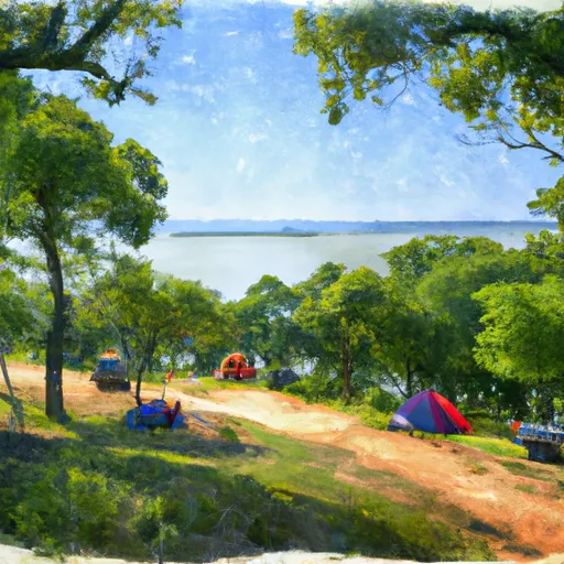
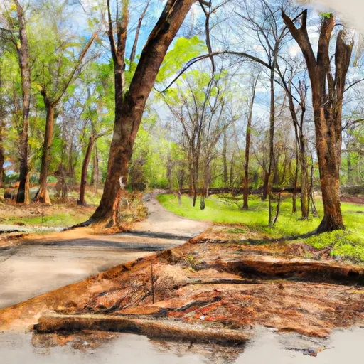
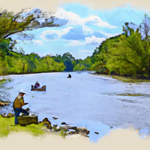
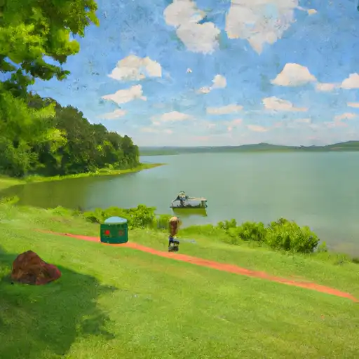
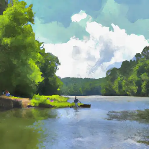
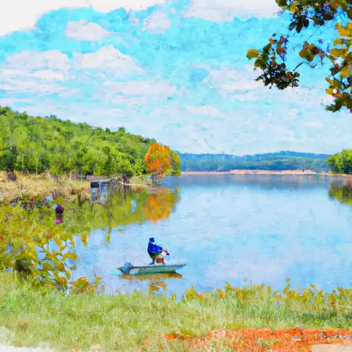
The city is situated along the Arkansas River and is known for its diverse hydrology constituents, including numerous creeks, reservoirs, and wetlands. Outdoor enthusiasts have ample opportunities for recreation, such as boating, fishing, and kayaking on the Arkansas River or in nearby Lake Maumelle. The area is also home to several parks and trails, including Burns Park, which offers camping, golfing, and hiking. With its favorable climate and abundance of natural water features, North Little Rock provides an ideal setting for outdoor activities and appreciation of nature.
Weather Forecast
North-Little-Roc receives approximately 1268mm of rain per year, with humidity levels near 84% and air temperatures averaging around 17°C. North-Little-Roc has a plant hardyness factor of 8, meaning plants and agriculture in this region tend to thrive here all year round.
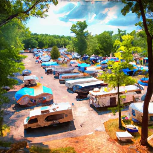
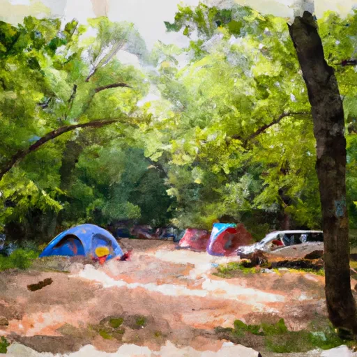
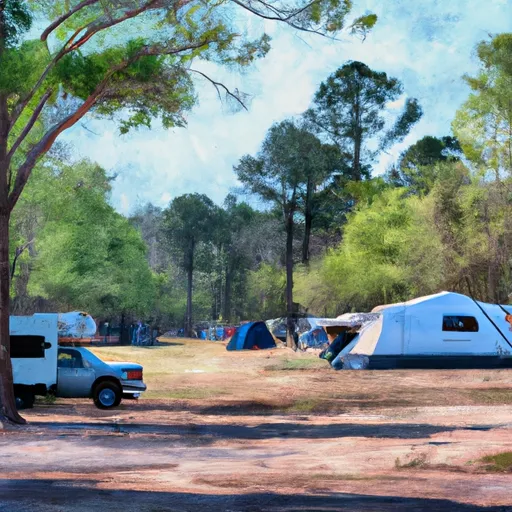
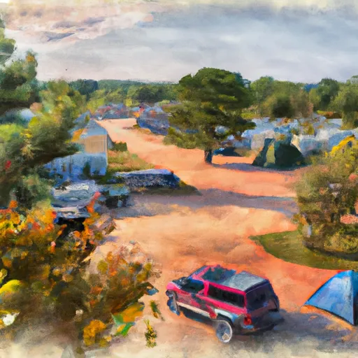
Area Campgrounds
| Location | Reservations | Toilets |
|---|---|---|
 Downtown Riverside RV Park
|
||
 Burns Park
|
||
 Camp Robinson RV Military
|
||
 Willow Beach
|
||
 Maumelle
|
||
 Little Rock AFB Military
|
 Ninth St. Park
 Hanger Hill Park
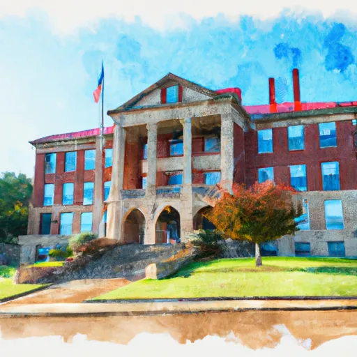 Little Rock Central High School National Historic Site
 Benny Jones Park
 Little Rock Reservoir Park
 Fourche Creek
 Lake Cherrywood
 Little Maumelle River
 Lake Valencia