Advertisement

Best paddling near Libby

2 paddle runs · 2 ranked · updated 2026-11-22 · off-season

Explore the best paddling near Libby, Montana — every spot ranked by our conditions-aware Snoflo score: live conditions first, then visitor reviews and logged trips. Click a pin on the map for the score and what's driving it.
Showing the top 2 of 2 paddle runs · best 15 shown on the map
J⛰
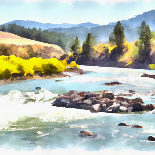
Junction Of The Fisher River (Three Miles Sownstream Of Libby Dam) To Tub Gulch, Approximately Four Miles Upstream From The Town Of Libby, Montana
#1 Junction Of The Fisher River (Three Miles Sownstream Of Libby Dam) To Tub Gulch, Approximately Four Miles Upstream From The Town Of Libby, Montana Prime
13.6 mi away
· 14,200 cfs · in range (5,000-30,000)· Falling -6% / 24h· Cold day · 22°F
The Whitewater River Run on the Fisher River in Montana is a popular destination for whitewater enthusiasts. The ideal streamflow range for this run is between 800 and 1500 cubic…
Why 83: live conditions (prime)
83Elite
1⛰
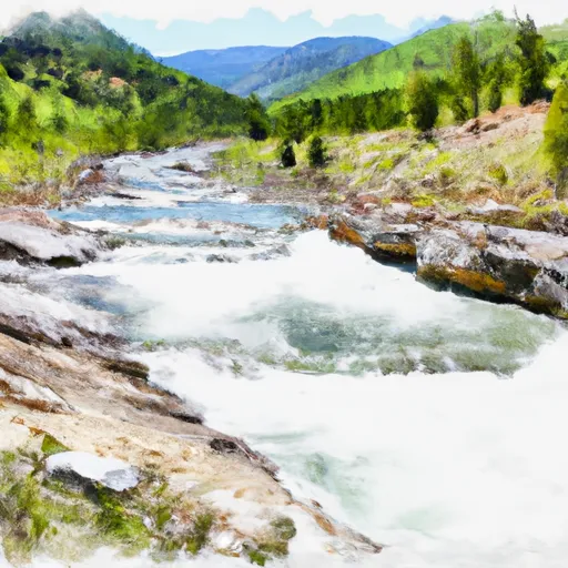
10 Miles From Tub Gulch To Quartz Creek To 10 Miles From Tub Gulch To Quartz Creek
#2 10 Miles From Tub Gulch To Quartz Creek To 10 Miles From Tub Gulch To Quartz Creek Prime
18.5 mi away
· 14,200 cfs · in range (5,000-30,000)· Falling -6% / 24h· Cold day · 22°F
The Whitewater River Run in Montana is a popular destination for kayakers, rafters, and other adventure seekers. The ideal streamflow range for this river is between 1000 and 3000…
Why 83: live conditions (prime)
83Elite

Paddling near Libby

The Libby area has 6 paddle runs on Snoflo, ranked by live conditions, visitor reviews, and logged trips — so the best, closest options rise to the top.

How we rank the best paddling near Libby

How are these paddle runs ranked?

Each gets a daily Snoflo score blending live conditions, visitor review ratings, and logged trips. The order reflects what's best right now and re-ranks every day.

How often does it update?

Daily, as new conditions, reviews, and trips arrive — so "best right now" means right now.

What do the numbers on the map mean?

Each pin shows that spot's current Snoflo score; tap it for the breakdown and a link to the full report.

More paddling in Montana

Live · ENSO Watch

A record-breaking El Niño is rewriting this winter.

See how the strongest El Niño ever measured is likely to tilt snowpack, river flows and storm tracks across the US — explained for anyone, with the full data for researchers.

—Niño 3.4 anomaly
—Oceanic Niño Index
—Current phase