Summary
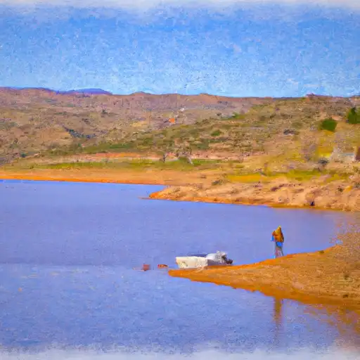
It services Lake Mary, which is a reservoir located in the Coconino National Forest. The body of water is approximately 265 acres in size and has a maximum depth of 40 feet. The lake is open to a variety of watercraft, including boats with motors up to a maximum of 10 horsepower, canoes, kayaks, and paddleboards. It should be noted that regulations and restrictions may vary, so it is important to check with local authorities for the latest information.
Nearby Boat Launches
Weather Forecast
Area Streamflow Levels
| VERDE RIVER NEAR CLARKDALE | 67cfs |
| OAK CREEK NEAR SEDONA | 56cfs |
| VERDE RIVER NEAR PAULDEN | 21cfs |
| OAK CREEK NEAR CORNVILLE | 81cfs |
| DRY BEAVER CREEK NEAR RIMROCK | 20cfs |
| DEL RIO SPRINGS NEAR CHINO VALLEY | 0cfs |

 Coconino County
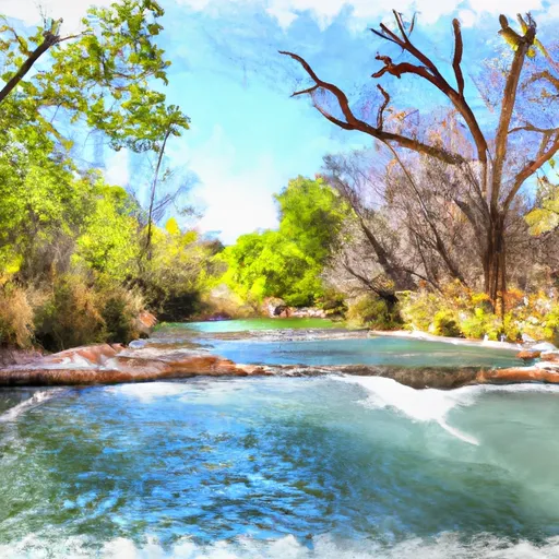 Parsons Spring To Confluence Of The Verde River
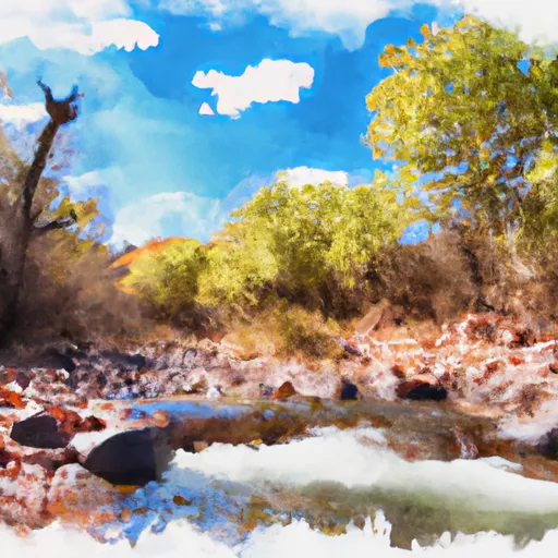 Headwaters In Sec 14, T19N, R5E To Confluence With Oak Creek
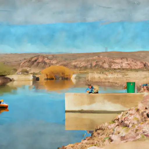 Perkins Tank
 JD Dam
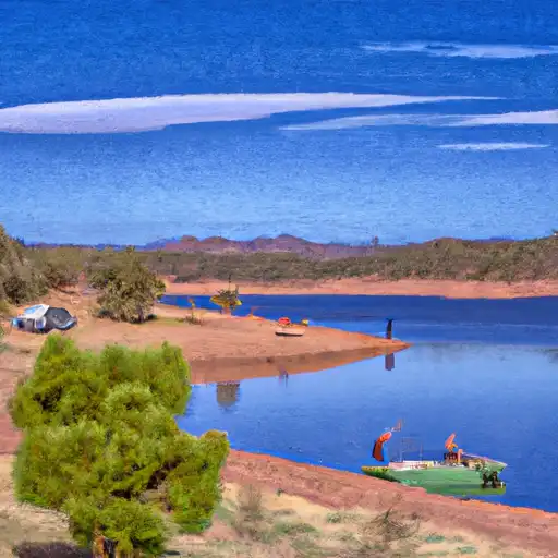 JD Dam Lake
 Dogtown Reservoir