Summary
This boat ramp is a concrete ramp, and it is a single lane. It is approximately 20 feet wide, allowing for easy launching and retrieval of boats.
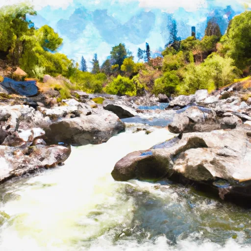
The Clear Creek Road boat ramp services the Sacramento River. This body of water is a popular destination for boating, fishing, and other water activities. The Sacramento River is the largest river in California, and it offers a variety of watercraft activities.
The Clear Creek Road boat ramp permits a variety of watercraft, including motorboats, jet skis, and canoes/kayaks. All boats are required to have a valid registration and must comply with all applicable safety regulations. The maximum length for boats is 26 feet, and the maximum horsepower is 200.
According to the latest information available from the City of Redding, the Clear Creek Road boat ramp is open year-round, and there is no fee to use the ramp. However, parking is limited, and visitors are advised to arrive early to secure a spot.
In summary, the Clear Creek Road boat ramp in Redding, California, is a concrete ramp that services the Sacramento River. It is approximately 20 feet wide and permits a variety of watercraft up to 26 feet in length and 200 horsepower. The ramp is open year-round, and there is no fee to use it, but parking is limited.
°F
°F
mph
Wind
%
Humidity
15-Day Weather Outlook
5-Day Hourly Forecast Detail
Area Streamflow Levels
| ANDERSON-COTTONWOOD ID CN AT SHARON ST REDDING CA | 41cfs |
| CLEAR C NR IGO CA | 389cfs |
| SACRAMENTO R A KESWICK CA | 5830cfs |
| COW C NR MILLVILLE CA | 1140cfs |
| COTTONWOOD C NR COTTONWOOD CA | 1650cfs |
| BATTLE C BL COLEMAN FISH HATCHERY NR COTTONWOOD CA | 528cfs |

 Clear Creek Road 17501-17987, Redding
 Clear Creek