Summary
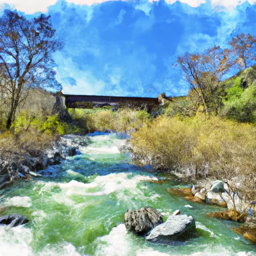
China Point River Access appears to be a concrete boat ramp located on the Klamath River in northern California.
There is no available information on the width of the ramp, but it appears to be a standard size suitable for launching small to mid-size watercraft.
The Klamath River is a major waterway that flows from southern Oregon into northern California and empties into the Pacific Ocean. L. China Point River Access is located near the middle of the river's 257-mile course.
According to the California Department of Fish and Wildlife, the Klamath River is primarily used for fishing and recreational boating. The department also lists several species of fish that can be caught in the river, including salmon, steelhead, and trout.
In terms of permitted watercraft, it is likely that most types of recreational boats are allowed on the Klamath River, subject to state and local regulations. However, specific rules or restrictions may apply in certain areas or during certain times of the year, particularly in the vicinity of identified fish spawning grounds or other sensitive areas. It is recommended that boaters consult with local authorities or regulatory agencies for the most up-to-date information on permitted watercraft and associated rules and regulations.
°F
°F
mph
Wind
%
Humidity
15-Day Weather Outlook
5-Day Hourly Forecast Detail
Area Streamflow Levels
| INDIAN C NR HAPPY CAMP CA | 205cfs |
| KLAMATH R NR SEIAD VALLEY CA | 2080cfs |
| SCOTT R NR FORT JONES CA | 412cfs |
| APPLEGATE RIVER NEAR COPPER | 175cfs |
| SUCKER CR BL LT GRAYBACK CR NR HOLLAND | 91cfs |
| STAR GULCH NEAR RUCH | 1cfs |

 L. China Point River Access
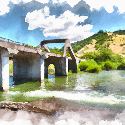 Bridge In Sec 25 To Confluence With Klamath River
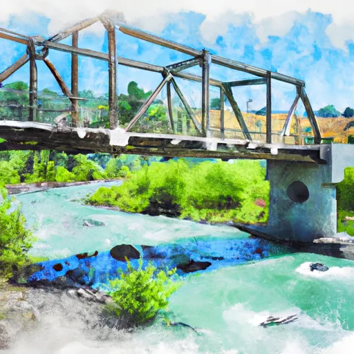 Bridge In Sec 19 To Bridge In Sec 25, T16N, R7E
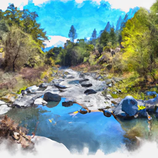 Confluence With Rancheria Creek To Forest Road 46N24X
 Sluice Box to Green Riffle
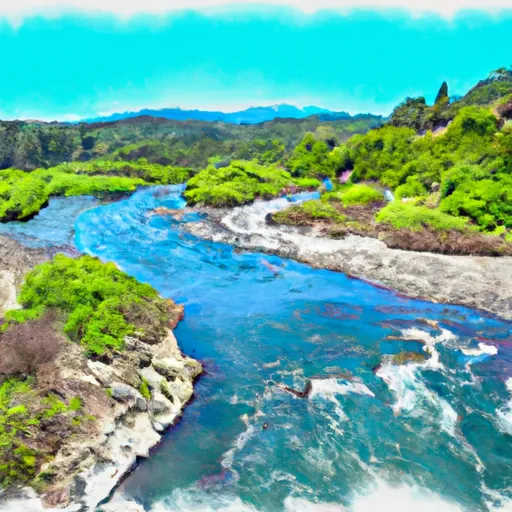 Confluence With Fish Creek To Confluence With Rancheria Creek
 Confluence With Bear Creek To Bridge In Sec 19, T15N, R8E