United States California

Sandy Cove Road Fresno County

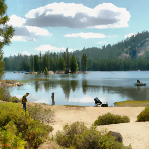
Based on the latest information available, the Sandy Cove Road boat ramp in Fresno County, California is a concrete boat ramp that provides access to the Pine Flat Lake. The ramp is approximately 16 feet wide and is suitable for launching small to medium-sized boats such as fishing boats, pleasure boats, and jet skis. The lake allows for a variety of water-based recreational activities, including fishing, boating, swimming, and water skiing. It is important to note that all boats must comply with California Department of Boating and Waterways regulations and display a valid registration sticker. Additionally, the ramp may be subject to seasonal closures or restrictions due to weather or maintenance. Get driving directions.
SANDY COVE ROAD FRESNO COUNTY

STREAMFLOW LEVELS
Streamgauge Streamflow
Sf Tule R Nr Cholollo Campground Nr Porterville Ca
USGS 11203580
67 cfs
Merced R A Happy Isles Bridge Nr Yosemite Ca
USGS 11264500
1,480 cfs
Marble Fork Kaweah R Ab Horse C Nr Lodgepole Ca
USGS 11206820
73 cfs
Sf Tule R Nr Reservation Bndry Nr Porterville Ca
USGS 11204100
119 cfs
Big C Div Nr Fish Camp Ca
USGS 11267350
0 cfs
Nf Willow C Nr Sugar Pine Ca
USGS 11242400
416 cfs
Deer C Nr Fountain Springs Ca
USGS 11200800
64 cfs

Nearby Camping
Location Campsites Reservations Toilets Showers Elevation
Black Rock - Trimmer 10 4,218 ft
Buckeye Flat - Sequoia National Park 28 2,828 ft
Crystal Springs - Kings Canyon National Park 36 6,618 ft
Hume Lake 74 5,274 ft
Sunset - Kings Canyon National Park 157 6,537 ft
Potwisha - Sequoia National Park 43 2,101 ft
Convict Flat 5 3,143 ft
Lily Pad 15 6,553 ft
Eshom 23 4,843 ft
Princess 88 5,868 ft
Landslide 9 5,772 ft
Upper Stony Creek 18 6,521 ft
Eastern Big Meadow Road 24 7,622 ft
Azalea - Kings Canyon National Park 110 6,532 ft
Sawmill Flat 10 6,720 ft
Buck Rock 5 7,730 ft
Stony Creek 49 6,425 ft
Marmot Rock 15 8,225 ft
Tenmile 13 5,819 ft
Dorst Creek - Sequoia National Park 218 6,751 ft