Summary
This boat ramp is designed specifically for fishing and is a concrete ramp with a width of 12 feet.
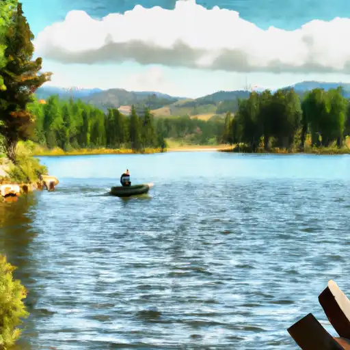
This boat ramp services Alberta Lake, which is a relatively small body of water located in the San Juan National Forest. It is a popular destination for fishing enthusiasts, particularly for anglers seeking trout. There are no motorized boats allowed on Alberta Lake, but non-motorized boats such as canoes, kayaks, and paddleboards are permitted.
According to the latest available information, which was updated by the Colorado Parks and Wildlife department, the Alberta Lake Fishing Site is open year-round, weather permitting. However, visitors are advised to check for possible closures and restrictions due to COVID-19 or other factors before visiting. Additionally, there may be fees associated with using this boat ramp, so it is recommended to check with the appropriate authorities before planning a trip.
°F
°F
mph
Wind
%
Humidity

 Alberta Lake Fishing Site
 Headwaters (Sec 21, T38N, R1E) To 1/4 Mile Above Big Meadows Reservoir
 Tucker Ponds Fishing Site
 Pass Creek Lake Fishing Site
 Big Meadows Reservoir
 Shaw Lake
 Poage Lake Fishing Site