BRIDGES RIVER ACCESS POINT (TAKE-OUT #2)

Put Ins Take Outs Weather


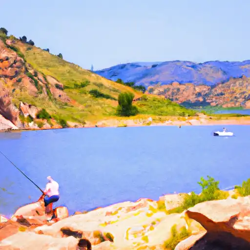
The Bridges River Access Point (Take-Out #2) boat ramp is located in Colorado at latitude 40.696554 and longitude -105.264399. It is a popular boat ramp that offers easy access to the Cache la Poudre River. This river access point is operated by the Colorado Parks and Wildlife Department.

The Bridges River Access Point boat ramp is a concrete ramp that is wide enough to accommodate a variety of watercraft. It is about 25 feet wide and has a gentle slope that makes it easy to launch and retrieve boats. The ramp is also equipped with a dock that makes it easier for boaters to load and unload gear.

This boat ramp services the Cache la Poudre River, which is a popular destination for kayaking, canoeing, and rafting. The river runs for 126 miles through the mountains of northern Colorado, and it is known for its beautiful scenery and challenging rapids. The river is open to all types of non-motorized watercraft, including canoes, kayaks, and rafts.

In summary, the Bridges River Access Point (Take-Out #2) boat ramp is a concrete ramp that is 25 feet wide and offers easy access to the Cache la Poudre River in Colorado. It is designed to accommodate a variety of non-motorized watercraft, including canoes, kayaks, and rafts. This information is accurate as of the time of writing, but visitors are encouraged to check with local authorities for the latest information on access points and regulations.

July 26, 2024

°F

°F

mph

Windspeed

%

Humidity

Regional Streamflow

49

Cubic Feet Per Second

25

Cubic Feet Per Second

12

Cubic Feet Per Second

12

Cubic Feet Per Second

Explore the Interactive Map

View recreational hotspots like fishing, camping, and parks, alongside climate-related data such as river levels, snowpack, and weather forecasts. Enjoy 3D mapping for an immersive experience, and switch to satellite view for a detailed look at your favorite spots. Simply click, explore, and discover nature like never before!

5-Day Weather Forecast

16-Day Weather Forecast

Nearby Camping & Amenities

Camping Area Campsites Reservations Toilets Showers Elevation
Lone Rock 20 6,410 ft
Devils Head 21 8,856 ft
Trail Creek Numerous 7,844 ft
Twin Eagles 9 8,547 ft
Jackson Creek 9 8,179 ft
Spruce Grove - Lake George 27 8,510 ft
Molly Gulch 15 7,490 ft
Wigwam 10 6,606 ft
Goose Creek 10 7,701 ft
Lost Park 12 9,958 ft

Explore Nearby Places

Leo Pando Park


Leo Pando Park is a beautiful natural area located in Wyoming, United States. The park offers stunning views of the surrounding mountains and valleys, making it an ideal destination for nature lovers and outdoor enthusiasts. There are several reasons to visit Leo Pando Park, including its scenic beauty, diverse wildlife, and recreational opportunities. One of the main points of interest at Leo Pando Park is the Pando Horn, which is a large rock formation that resembles a horn. Visitors can also explore the park's many hiking trails, which lead through forests, meadows, and other scenic areas. The park is home ...