Summary
The run is about 7 miles long and features several fun obstacles such as Widowmaker, Cougar, and Dragon's Tongue. The best time to float this section of water is during the spring and early summer months when the water levels are high and the rapids are more challenging. The recommended flow for this river run is between 400 and 800 cfs. Overall, the Lower North Fork River Run is a great option for intermediate-level rafters looking for a fun and thrilling adventure in Colorado.
°F
°F
mph
Wind
%
Humidity
15-Day Weather Outlook
River Run Details
| Last Updated | 2023-06-13 |
| River Levels | 182 cfs (3.29 ft) |
| Percent of Normal | 84% |
| Status | Too High |
| Class Level | III |
| Elevation | 5,245 ft |
| Run Length | 11.0 Mi |
| Streamflow Discharge | 48.9 cfs |
| Gauge Height | 2.8 ft |
| Reporting Streamgage | USGS 06752000 |
5-Day Hourly Forecast Detail
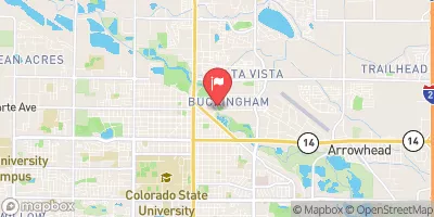
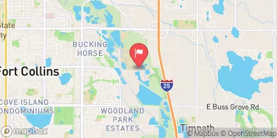
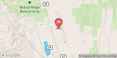
Nearby Streamflow Levels
Area Campgrounds
| Location | Reservations | Toilets |
|---|---|---|
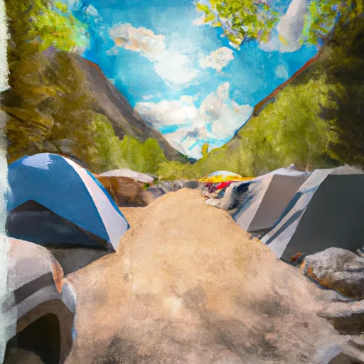 Ansel Watrous Campground
|
||
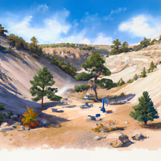 Ansel Watrous
|
||
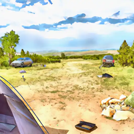 Stove Prairie
|
||
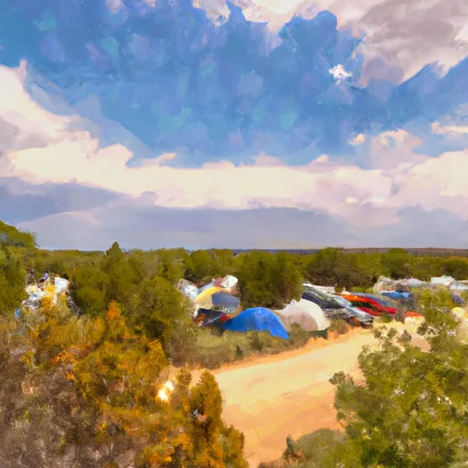 Stove Prairie Campground
|
||
 Narrows
|
||
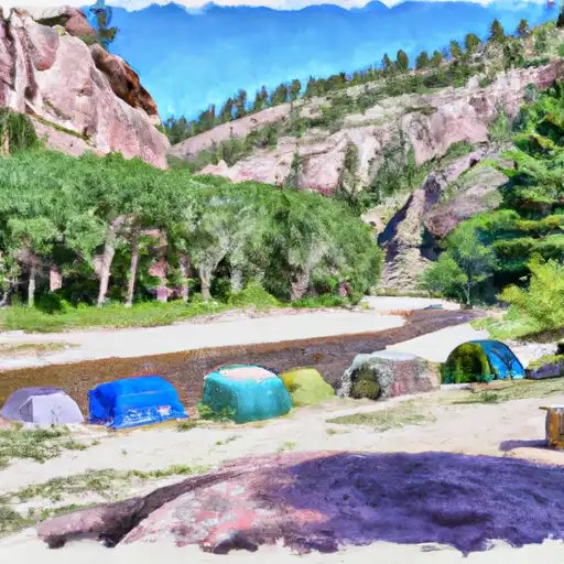 Lower Narrows
|


 Bridges River Access Point (Take-Out #2)
 Lower North Fork
 Filter Plant
 Steven's Gulch to Bridges Take Out
 Lower Narrows
 Middle Narrows
 Douglas Reservoir
 Watson Lake
 Smith Lake (Lar. Cty.) (Boxelder #3)