Summary
This boat ramp provides access to Horsetooth Reservoir, which is a popular recreational area for boating, fishing, and other water-related activities.
The boat ramp at Nowata Drive 407 is a concrete ramp that is 12 feet wide. It allows easy access for boats of various sizes, including small fishing boats, kayaks, canoes, and larger boats. However, it is important to note that the maximum capacity of the boat ramp is limited to 10,000 pounds.
The Horsetooth Reservoir is located in the foothills of the Rocky Mountains and covers an area of approximately 6.5 square miles. It is a popular destination for a variety of watercraft, including motorboats, sailboats, and jet skis. However, it is important to follow all boating regulations and safety guidelines to ensure a safe and enjoyable experience on the water.
In summary, Nowata Drive 407 boat ramp is a concrete ramp that is 12 feet wide, offering access to Horsetooth Reservoir in Larimer County, Colorado. It allows boats of various sizes, but with a maximum capacity of 10,000 pounds. The reservoir is suitable for a range of watercraft, including motorboats, sailboats, and jet skis, but it is important to follow all boating regulations and safety guidelines.
°F
°F
mph
Wind
%
Humidity
15-Day Weather Outlook
5-Day Hourly Forecast Detail
Area Streamflow Levels
River Runs
-
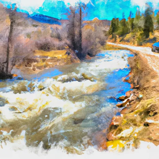 End Of Four-Wheel Drive Road To Pearl Creek In Se 1/4 Sec 21, T10N, R74W
-
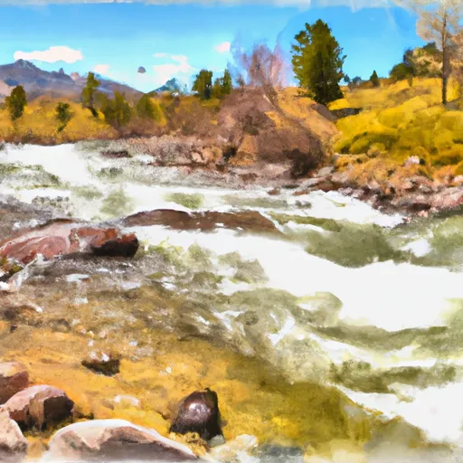 Pearl Creek To Junction Of Road West Of Creedmore Lakes In Sw 1/4 Sec 5, T10N, R73E
-
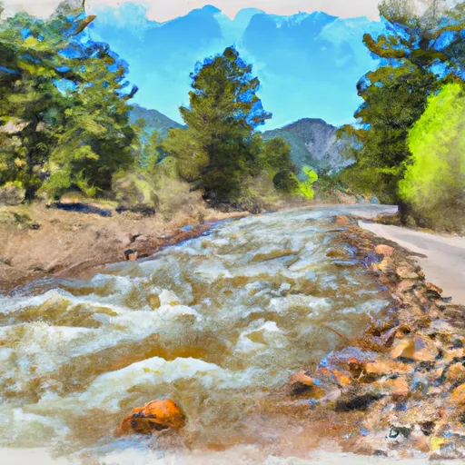 Source In Se 1/4 Sec 25, T10N, R75W To End Of The Four-Wheel Drive Road East Of The Nf Poudre Campground (Nw 1/4 Of Sec 21, T10N, R74W
-
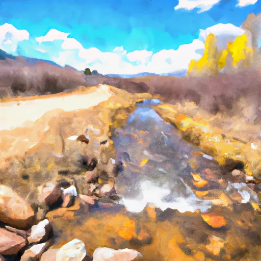 Road West Of Creedmore Lakes To Junction Of Intermittent Stream In Sw 1/4, Sec 29, T11N, R72W
-
 Upper North Fork
-
 Intermittent Stream To Junction With Co Division Of Wildlife Angler Access Trail In Sw 1/4 Sec 22, T11N, R72W

 Nowata Drive 407, Larimer County
 Creedmore Lakes
 West Lake Day Use Area
 Bellaire Lake
 West Lake
 Dowdy Lake