Summary
The latitude and longitude coordinates provided match the location of the boat ramp on Google Maps.
The width of the boat ramp is not specified in the available information. However, it is likely to be a standard size boat ramp that can accommodate most boats.
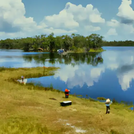
Johnson Lake is a freshwater lake that spans over 2,400 acres and allows for various activities such as fishing, boating, and kayaking. It is also a popular spot for birdwatching and nature photography.
As a public boat ramp, County Road 12B is open to all types of watercraft, including powerboats, sailboats, kayaks, and canoes. However, it is important to note that the use of personal watercraft such as jet skis may be restricted on certain days or times. It is recommended to check local guidelines and regulations before using the boat ramp.
°F
°F
mph
Wind
%
Humidity
15-Day Weather Outlook
5-Day Hourly Forecast Detail
Area Streamflow Levels
| ORANGE CREEK AT ORANGE SPRINGS | 6cfs |
| OCKLAWAHA RIVER AT EUREKA | 540cfs |
| OCKLAWAHA R AT RODMAN DAM NR ORANGE SPRINGS | 797cfs |
| SILVER RIVER NEAR OCALA | 486cfs |
| OCKLAWAHA RIVER NR CONNER | 550cfs |
| OCKLAWAHA RIVER NR OCALA | 33cfs |

 County Road 12B, Hawthorne
 Orange Lake
 Redwater Lake
 Deer Back Lake
 Lake Ocklawaha
 Newnans Lake