Summary
It is a popular boat ramp in the area and is well maintained by the city. The boat ramp is open 24 hours a day, 7 days a week, and is free to use.
The George English Park boat ramp is a concrete boat ramp that is approximately 30 feet wide. It is suitable for launching boats of all sizes, from small fishing boats to large powerboats. The ramp has two lanes, so multiple boats can be launched at the same time.
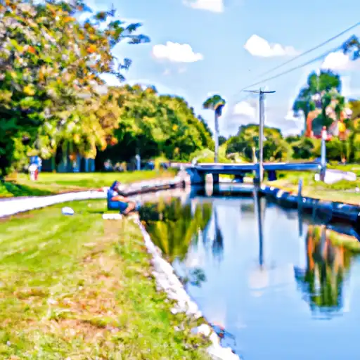
The boat ramp services the Middle River, which flows through Fort Lauderdale and into the Atlantic Ocean. This waterway is popular with boaters and fishermen, and provides access to a variety of different fishing locations. Boaters can also use the Middle River to explore the nearby canals and waterways, which offer scenic views of the city and its surrounding areas.
The George English Park boat ramp is open to all types of watercraft, including powerboats, sailboats, and kayaks. However, there are some restrictions on the types of boats that are allowed on the water. For example, boats that exceed a certain length or weight may be prohibited from using the ramp. It is important for boaters to check with the local authorities to ensure that their boat is allowed on the water.
In conclusion, the George English Park boat ramp is a popular and well-maintained boat ramp in Fort Lauderdale, Florida. It is suitable for launching boats of all sizes and services the Middle River, which is a popular waterway for boaters and fishermen. The ramp is open 24/7 and is free to use. Boaters of all types are welcome, but there may be some restrictions on the types of boats that are allowed on the water.
°F
°F
mph
Wind
%
Humidity

 George English Park
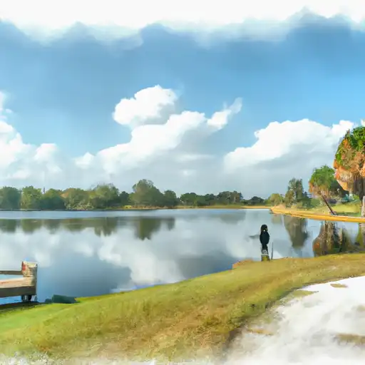 Plantation Heritage Park Lake
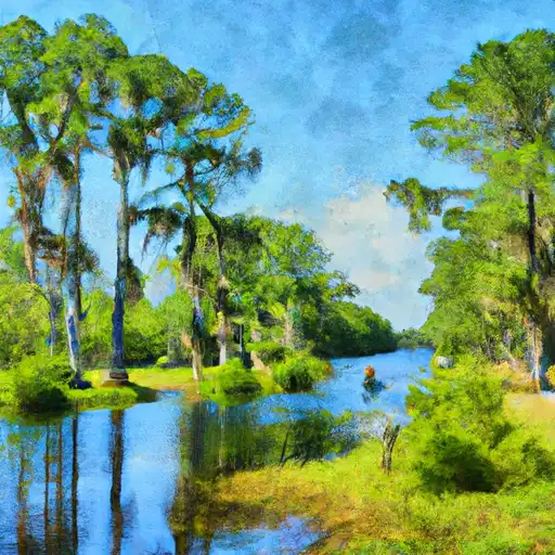 Cypress Creek Canal / West River Drive
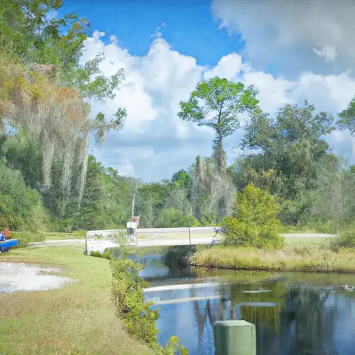 Cypress Creek Canal / Winfield Park
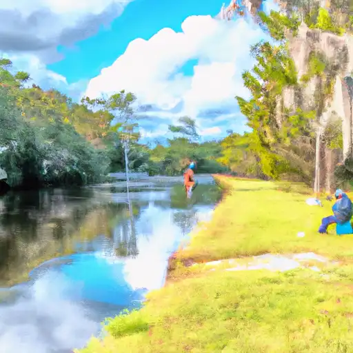 Cypress Creek Canal
 Cypress Creek Canal (C-14) Riverside Park Pompano Canal