Summary
The coordinates for the boat ramp are latitude: 29.96034813 and longitude: -84.72169495.
The boat ramp is reportedly a concrete ramp with a single lane and is approximately 15 feet wide. It is suitable for launching small to medium-sized boats, including jon boats, canoes, kayaks, and small motorboats.
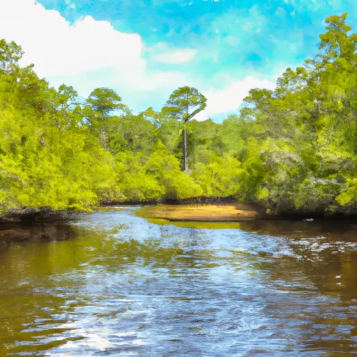
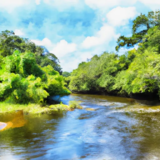
The body of water that the Gully Branch Road boat ramp services is the Crooked River, which is a tributary of the Apalachicola River. The Crooked River is known for its natural beauty and provides excellent opportunities for fishing and boating.
It is essential to note that regulations and restrictions may apply to the use of the boat ramp and watercraft on the Crooked River. It is recommended to check with the local authorities for the latest rules and guidelines before using the Gully Branch Road boat ramp or accessing the Crooked River.
°F
°F
mph
Wind
%
Humidity
15-Day Weather Outlook
5-Day Hourly Forecast Detail
Area Streamflow Levels
| NEW RIVER NR SUMATRA FLA | 233cfs |
| OCHLOCKONEE RIVER NR SMITH CREEK | 813cfs |
| APALACHICOLA RIVER NR SUMATRA | 9770cfs |
| SOPCHOPPY RIVER NR SOPCHOPPY | 6cfs |
| LOST CREEK AT ARRAN FLA | 3cfs |
| APALACHICOLA R.AB CHIPOLA CONR WEWAHITCHKA | 8950cfs |

 Gully Branch Road Franklin County
 Segment D--Mud Swamp/New River Wilderness (Southern) Wilderness Boundary To Northern Boundary Of Town Of Carrabelle (Rm 4)
 Segment C--Mud Swamp/New River Wilderness Boundary To Mud Swamp/New River Wilderness (Southern) Boundary