Dense Fog Advisory
2026-02-12T07:00:00-05:00
2026-02-12T07:00:00-05:00
* WHAT...Visibility one quarter mile in dense fog. * WHERE...Coastal Dixie, Coastal Franklin, Coastal Taylor, and Inland Dixie Counties. * WHEN...Until 7 AM EST Thursday. * IMPACTS...Low visibility could make driving conditions hazardous.
Segment D--Mud Swamp/New River Wilderness (Southern) Wilderness Boundary To Northern Boundary Of Town Of Carrabelle (Rm 4) Paddle Report
Last Updated: 2026-02-07
Get the latest Paddle Report, Streamflow Levels, and Weather Forecast for Segment D--Mud Swamp/New River Wilderness (Southern) Wilderness Boundary To Northern Boundary Of Town Of Carrabelle (Rm 4) in Florida. Florida Streamflow Levels and Weather Forecast
Summary
°F
°F
mph
Wind
%
Humidity
15-Day Weather Outlook
River Run Details
| Last Updated | 2026-02-07 |
| River Levels | 14600 cfs (4.67 ft) |
| Percent of Normal | 36% |
| Status | |
| Class Level | None |
| Elevation | ft |
| Streamflow Discharge | cfs |
| Gauge Height | ft |
| Reporting Streamgage | USGS 02359170 |
5-Day Hourly Forecast Detail
Nearby Streamflow Levels
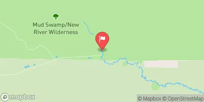 New River Nr Sumatra Fla
|
233cfs |
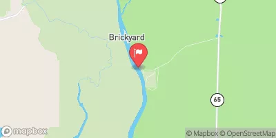 Apalachicola River Nr Sumatra
|
9770cfs |
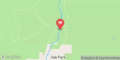 Sopchoppy River Nr Sopchoppy
|
6cfs |
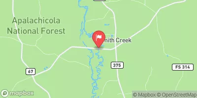 Ochlockonee River Nr Smith Creek
|
813cfs |
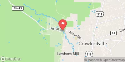 Lost Creek At Arran Fla
|
3cfs |
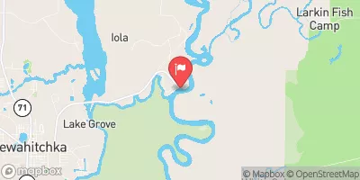 Apalachicola R.Ab Chipola Conr Wewahitchka
|
8950cfs |
Area Campgrounds
| Location | Reservations | Toilets |
|---|---|---|
 Primative 3
|
||
 Dr. Julian G. Bruce State Park
|
||
 V1
V1
|
||
 V2
V2
|
||
 V3
V3
|
||
 V4
V4
|


 US 98;US 319 401, Carrabelle
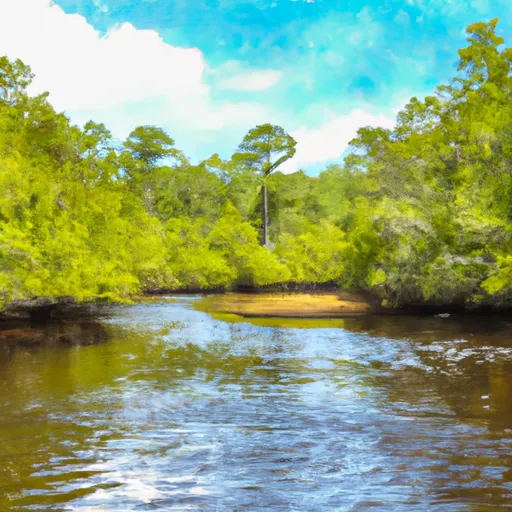 Segment D--Mud Swamp/New River Wilderness (Southern) Wilderness Boundary To Northern Boundary Of Town Of Carrabelle (Rm 4)