Summary
It is a public boat ramp that provides access to Lake Dora, which is a part of the Harris Chain of Lakes. The GPS coordinates for the ramp are 28.74715996, -81.68895721.
The ramp is a concrete ramp with two launch lanes and a large parking area. It is suitable for boats of various sizes, including larger boats and pontoon boats. However, the ramp is not suitable for boats with deep drafts.
The width of the boat ramp is not specified, but it is wide enough to accommodate two boats launching or retrieving at the same time. The parking area at the ramp is also large enough to accommodate trailers and vehicles.
The water body that the boat ramp serves is Lake Dora, which is a freshwater lake located in Lake County, Florida. Lake Dora is part of the Harris Chain of Lakes, which is a popular boating destination in central Florida.
A variety of watercraft are permitted on Lake Dora, including boats, jet skis, and kayaks. However, it is vital to note that Florida law requires all boats to have a valid registration and a current decal. Additionally, all boats must comply with state boating laws, including proper safety equipment and operation.
In conclusion, Lake Jem Park and Boat Ramp is a popular public boat ramp that provides access to Lake Dora, a part of the Harris Chain of Lakes in Lake County, Florida. The ramp is suitable for various boat sizes, and a range of watercraft are permitted on the lake.
°F
°F
mph
Wind
%
Humidity

 Lake Jem Park and Boat Ramp
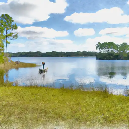 Lake Beauclair
 Lake Dora
 Lake Ola
 Lake Idamere
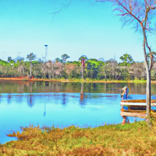 Little Lake Harris