Summary
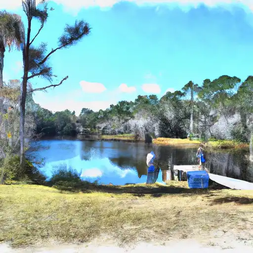
It is situated at latitude 28.53026009 and longitude -81.40583038. This boat ramp is designed for motorized boats and watercraft. It is a concrete ramp that offers easy access to the water.
The Monte Carlo Trail 2000 boat ramp is about 16 feet wide, providing ample space for launching and loading boats. It is also equipped with a dock for loading and unloading passengers and gear. The parking area is a paved lot that can accommodate up to 20 vehicles.
This boat ramp services the Conway Chain of Lakes, which is a popular recreational area for boaters, anglers, and water sports enthusiasts. The Conway Chain of Lakes consists of three large interconnected lakes that cover over 1,700 acres. These lakes are known for their crystal-clear waters and abundant fish populations, including largemouth bass, bluegill, and crappie.
The Florida Fish and Wildlife Conservation Commission regulates the use of boats on the Conway Chain of Lakes. Motorized boats are allowed, but they must comply with the established speed limits and be equipped with the necessary safety equipment. Jet skis and other personal watercraft are also permitted, but riders must follow the same rules and regulations as motorized boats.
In conclusion, the Monte Carlo Trail 2000 boat ramp in Orlando, Florida, is a public concrete boat ramp that services the Conway Chain of Lakes. It is 16 feet wide, has a paved parking lot, and can accommodate motorized boats and watercraft, including jet skis. Visitors are encouraged to follow the established rules and regulations to ensure a safe and enjoyable experience on the water.
°F
°F
mph
Wind
%
Humidity

 Monte Carlo Trail 2000, Orlando
 Eagles Nest
 Lake Ivanhoe
 Lake Lawne
 Lawne Lake
 Barnett Park Frog Pond