Summary
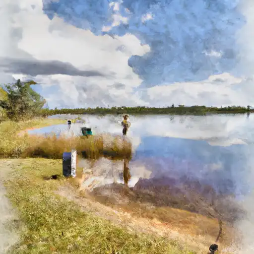
This boat ramp is a popular location for boaters to launch their watercraft in the area.
The North Monroe Street boat ramp is a concrete structure that is 20 feet wide and 150 feet long. It has a single lane that allows vehicles to back up to the water's edge for easy loading and unloading of boats. There is a large paved parking lot adjacent to the boat ramp that can accommodate trailers and vehicles of various sizes.
This boat ramp services Lake Jackson, which is a large freshwater lake in Leon County, Florida. The lake is approximately 4,000 acres in size and is a popular spot for fishing, boating, kayaking, and other recreational activities.
The North Monroe Street boat ramp is designed to accommodate a variety of watercraft, including boats, pontoons, jet skis, and kayaks. However, there are no specific restrictions on the type of boats or watercraft that are allowed on Lake Jackson. Boaters are advised to follow all safety guidelines and regulations set forth by the Florida Fish and Wildlife Conservation Commission and the Leon County Parks and Recreation Department.
In conclusion, the North Monroe Street boat ramp is a well-maintained concrete structure located in Leon County, Florida. It is 20 feet wide and 150 feet long, and services Lake Jackson, a popular freshwater lake for recreational activities. The boat ramp is designed to accommodate various types of watercraft, and there are no specific restrictions on the type of boats allowed on the lake.
°F
°F
mph
Wind
%
Humidity
15-Day Weather Outlook
5-Day Hourly Forecast Detail
Area Streamflow Levels
| OCHLOCKONEE RIVER NR HAVANA | 158cfs |
| LITTLE RIVER NR QUINCY | 68cfs |
| LITTLE RIVER NR MIDWAY | 117cfs |
| OCHLOCKONEE RIVER NR CONCORD | 147cfs |
| LITTLE ATTAPULGUS CREEK AT ATTAPULGUS | 6cfs |
| OCHLOCKONEE RIVER NR BLOXHAM | 393cfs |

 North Monroe Street Leon County
 Lake Ella
 Joe Budd Pond
 Piney Z Lake