Summary
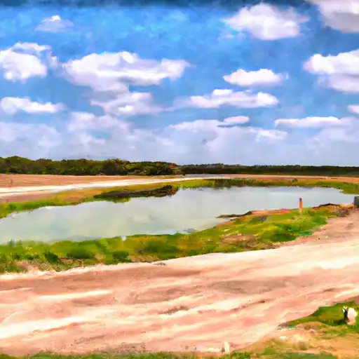
It is a public boat ramp that is maintained by the city of Lewisville. The ramp is made of concrete and is suitable for both launching and retrieving boats.
According to the latest information available, the ramp is 4 lanes wide, which means it can accommodate multiple boats at once. It also has a large parking area for vehicles with boat trailers.
The boat ramp provides access to the Lewisville Lake, which is a popular recreational area in North Texas. The lake covers an area of approximately 29,000 acres and has a shoreline of over 200 miles.
The Lewisville Lake is suitable for a variety of watercraft, including motorboats, sailboats, kayaks, canoes, and jet skis. However, it is important to note that certain restrictions and regulations apply to each type of watercraft, and boaters are advised to check the latest information before heading out on the water.
In summary, the 1b Road Lewisville boat ramp is a public ramp that provides access to the Lewisville Lake in Texas. It is 4 lanes wide, suitable for launching and retrieving boats, and can accommodate a variety of watercraft.
°F
°F
mph
Wind
%
Humidity
15-Day Weather Outlook
5-Day Hourly Forecast Detail
Area Streamflow Levels
| ELM FK TRINITY RV NR LEWISVILLE | 360cfs |
| INDIAN CK AT FM 2281 | 29cfs |
| DENTON CK NR GRAPEVINE | 60cfs |
| ELM FK TRINITY RV NR CARROLLTON | 105cfs |
| HICKORY CK AT DENTON | 23cfs |
| DOE BR AT US HWY 380 NR PROSPER | 52cfs |

 1b Road Lewisville
 Andrew Brown East Big
 Creekside Fishing Area
 Grapevine Lake