Summary
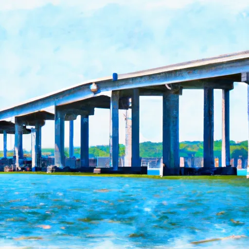
This boat ramp provides access to a body of water known as the Savannah River.
According to the latest information available, this boat ramp is a concrete ramp with a width of 20 feet. It is suitable for launching various types of watercraft, including motorized boats, canoes, kayaks, and other types of small boats.
The Savannah River is one of the major waterways in the southeastern United States, stretching over 300 miles from its headwaters in the Appalachian Mountains to the Atlantic Ocean. It is used for recreational activities such as boating and fishing, as well as industrial and commercial shipping.
It is important to note that regulations and restrictions on boating and watercraft usage may vary depending on the location and specific rules of the area. It is recommended to check with local authorities or the managing agency for the most up-to-date information on permitted watercraft and usage guidelines.
°F
°F
mph
Wind
%
Humidity
15-Day Weather Outlook
5-Day Hourly Forecast Detail
Area Streamflow Levels
| SAVANNAH RIVER AT GA 25 | 43400cfs |
| SAVANNAH RIVER NEAR PORT WENTWORTH | 22500cfs |
| ABERCORN CR (WATER INTAKE) NR SAVANNAH | 2720cfs |
| OGEECHEE RIVER NEAR EDEN | 979cfs |
| BLACK CREEK NEAR BLITCHTON | 32cfs |
| SAVANNAH RIVER AT FORT PULASKI | 277000cfs |

 US 80;GA 26 Pooler
 The I-95 Bridge Crossing To The Mouth Of The River