Summary
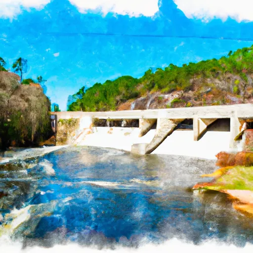
It is approximately 20 feet wide and services the Ocmulgee River, which is a popular spot for recreational boating and fishing.
According to the Georgia Department of Natural Resources, the Ocmulgee River is open to a variety of watercraft including canoes, kayaks, jon boats, and motorized boats. However, there are restrictions on the use of personal watercraft such as jet skis and wave runners.
The latest information available on the Riverbend Trail Macon boat ramp confirms that it is still open to the public and accessible for launching boats. However, it is important to note that changes in weather, water levels, and other factors may impact the conditions at the ramp, so boaters should always exercise caution and follow any posted regulations or advisories.
°F
°F
mph
Wind
%
Humidity
15-Day Weather Outlook
Nearby Boat Launches
5-Day Hourly Forecast Detail
Area Streamflow Levels
| OCMULGEE RIVER AT MACON | 1500cfs |
| TOBESOFKEE CREEK NEAR MACON | 7cfs |
| FALLING CREEK NEAR JULIETTE | 26cfs |
| MURDER CREEK BELOW EATONTON | 80cfs |
| OCONEE RIVER AT MILLEDGEVILLE | 627cfs |
| OCMULGEE RIVER NEAR JACKSON | 608cfs |

 Riverbend Trail Macon
 East Juliette Dam To Georgia State Highway 18