
Summary
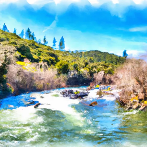
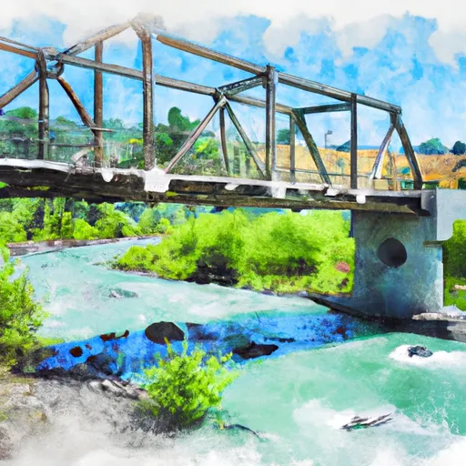
Ferry Point River Access is a concrete boat ramp located in California. It is approximately 10 feet wide and services the Klamath River. The ramp is suitable for small boats, such as canoes, kayaks, and rafts. However, it may not be ideal for larger watercraft like motorboats or sailboats. The coordinates provided (latitude: 41.671336, longitude: -123.432507) accurately pinpoint the location of the ramp. Additionally, there are no recent reports of any changes to the specifications or restrictions of the ramp.
 Q. Ferry Point River Access
Weather Forecast
Area Streamflow Levels
| INDIAN C NR HAPPY CAMP CA | 1150cfs |
| KLAMATH R NR SEIAD VALLEY CA | 4730cfs |
| SALMON R A SOMES BAR CA | 4540cfs |
| SCOTT R NR FORT JONES CA | 1840cfs |
| KLAMATH R A ORLEANS | 17500cfs |
| KLAMATH R NR KLAMATH CA | 51800cfs |
River Runs
-
 Confluence With Daggett Creek To Confluence With Klamath River
-
 Confluence With Ten Mile Creek To Confluence With Daggett Creek
-
 Confluence With Bear Creek To Bridge In Sec 19, T15N, R8E
-
 From Toe Of Dam On West End Of Ukonom Lake To Confluence With Klamath River
-
 Bridge In Sec 19 To Bridge In Sec 25, T16N, R7E
-
 Elk Creek Headwaters In Marble Mtn. Wilderness To Confluence With Bear Creek