Summary
It is a concrete ramp that is 20 feet wide and includes a courtesy dock for loading and unloading boats.
Laurel River Lake is a 5,600-acre reservoir located in Whitley County, Kentucky. It is a popular destination for boating, fishing, and other water activities. The lake is surrounded by the Daniel Boone National Forest and offers stunning views of the surrounding mountains.
The Whitley County boat ramp provides access to various types of watercraft, including motorboats, kayaks, canoes, and fishing boats. However, it is important to note that there are regulations in place regarding the use of motorized watercraft on the lake. For example, boats with motors exceeding 40 horsepower are prohibited on Laurel River Lake.
Overall, the Whitley County boat ramp provides convenient access to a beautiful and popular body of water in Kentucky. Its concrete construction, wide width, and courtesy dock make it a safe and easy place to launch and retrieve watercraft.
°F
°F
mph
Wind
%
Humidity
15-Day Weather Outlook
Nearby Boat Launches
5-Day Hourly Forecast Detail
Area Streamflow Levels
| LYNN CAMP CREEK AT CORBIN | 76cfs |
| CUMBERLAND RIVER AT CUMBERLAND FALLS | 3520cfs |
| CUMBERLAND RIVER AT WILLIAMSBURG | 2930cfs |
| ROCKCASTLE RIVER AT BILLOWS | 1730cfs |
| CLEAR FORK AT SAXTON | 419cfs |
| GOOSE CREEK AT MANCHESTER | 322cfs |

 Whitley County
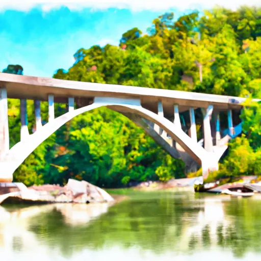
 Kentucky Road 80 Bridge To Downstream Part Of Rockcastle Narrows