Summary
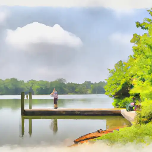
It is situated at latitude 38.31102753 and longitude -75.88912964. The boat ramp is known for being a concrete ramp that provides access to the Manokin River, which flows into the Chesapeake Bay.
According to the latest information available, Cedar Hill Marina boat ramp is around 20 feet wide. The width of the ramp is usually enough to accommodate most typical boats, from small fishing boats to larger vessels. It is a popular spot for recreational boating enthusiasts, who visit for activities such as fishing, crabbing, and water skiing.
Regarding the kind of craft that are permitted on the water, Cedar Hill Marina boat ramp is open to a wide variety of vessels. The Manokin River and the Chesapeake Bay are both suitable for sailing boats, motorboats, kayaks, and canoes. However, it is essential to note that there are speed limits and other safety regulations that boaters need to follow.
In summary, Cedar Hill Marina is a concrete boat ramp located in Westover, Maryland, that provides access to the Manokin River and the Chesapeake Bay. It is around 20 feet wide and can accommodate a wide variety of boats. This boat ramp is a popular spot for recreational boating enthusiasts and offers a range of water activities such as fishing, crabbing, and water skiing.
°F
°F
mph
Wind
%
Humidity

 Cedar Hill Marina
 Langrells Creek
 Island Creek
 Webster Cove
 Transquaking River
 Dames Quarter Creek