Summary
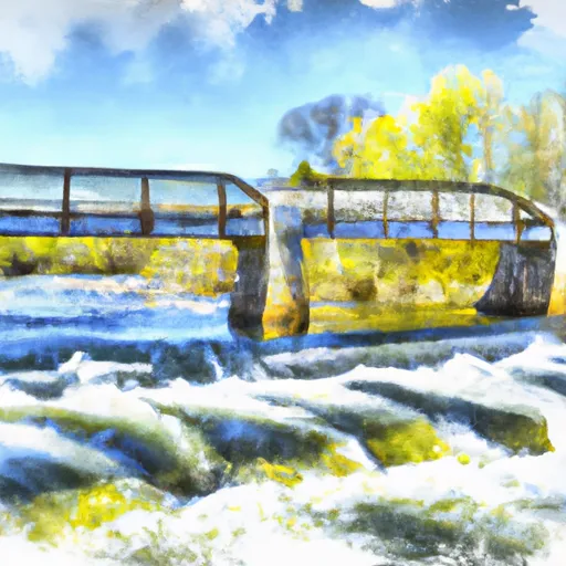
It is a concrete boat ramp that provides access to the Platte River, which flows into Lake Michigan. The ramp is 22 feet wide and is suitable for small to medium-sized boats, including canoes, kayaks, and motorboats.
According to the Michigan Department of Natural Resources, the Rainbow Bend Access Site is part of the Sleeping Bear Dunes National Lakeshore. Visitors can enjoy fishing, boating, and wildlife watching in the area. The access site has parking for up to 20 vehicles and trailers, restrooms, and picnic tables.
It is important to note that regulations and restrictions may vary depending on the season and the specific area. Therefore, it is recommended to check local guidelines and regulations before visiting the Rainbow Bend Access Site or any other boat ramp in Michigan.
°F
°F
mph
Wind
%
Humidity
15-Day Weather Outlook
5-Day Hourly Forecast Detail
Area Streamflow Levels
| MANISTEE RIVER NEAR WELLSTON | 2100cfs |
| MANISTEE RIVER NEAR MESICK | 1190cfs |
| PINE RIVER AT HIGH SCHOOL BRIDGE NR HOXEYVILLE | 412cfs |
| MANISTEE RIVER NEAR SHERMAN | 1130cfs |
| PERE MARQUETTE RIVER AT SCOTTVILLE | 897cfs |
| PLATTE RIVER AT HONOR | 135cfs |

 Rainbow Bend Access Site
 Kings Road Bridge (2 Miles West Of Town Of Luther In T19N, R12W To Slackwater Of The State Fish Weir In T21N, R16W