Summary
This boat ramp is situated on the shores of Lake Bemidji, which is a popular freshwater lake in north-central Minnesota.
The Cameron Park boat ramp is a concrete ramp that provides easy access to Lake Bemidji for various watercraft such as fishing boats, canoes, kayaks, and jet skis. It is a popular spot for anglers, boaters, and recreational users who want to enjoy the calm waters of the lake.
The width of the boat ramp is not specified in the available information, but it is expected to be wide enough to accommodate different types of watercraft. The ramp has a gentle slope that allows for easy launching and loading of boats, even for those without much experience. It is also equipped with a dock for loading and unloading passengers and gear.
As for the kind of craft permitted on the water, Lake Bemidji is open to motorized and non-motorized boats as long as they comply with Minnesota boating laws and regulations. This means that watercraft such as fishing boats, speed boats, canoes, kayaks, and paddleboards are all allowed on the lake. Additionally, all watercraft should be equipped with proper safety equipment, including life jackets, fire extinguishers, and signaling devices.
In summary, the Cameron Park boat ramp in Minnesota is a concrete boat ramp located on the shores of Lake Bemidji. It provides easy access to the lake for various watercraft, including fishing boats, canoes, kayaks, and jet skis. The ramp has a gentle slope, and it is equipped with a dock for loading and unloading passengers and gear. Lake Bemidji is open to motorized and non-motorized boats, and all watercraft should comply with Minnesota boating laws and regulations.
°F
°F
mph
Wind
%
Humidity
15-Day Weather Outlook
5-Day Hourly Forecast Detail
Area Streamflow Levels
| MISSISSIPPI RIVER NEAR BEMIDJI | 169cfs |
| RED LAKE RIVER NEAR RED LAKE | 385cfs |
| STRAIGHT RIVER NEAR PARK RAPIDS | 46cfs |
| LOST RIVER AT OKLEE | 23cfs |
| RED LAKE RIVER AT HIGH LANDING NR GOODRIDGE | 323cfs |
| CROW WING RIVER AT NIMROD | 279cfs |

 Cameron Park
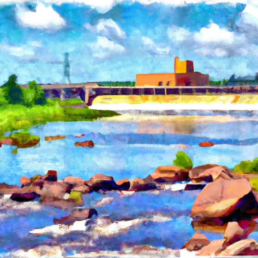
 The Otter Tail Powerplant
To Allen'S Bay
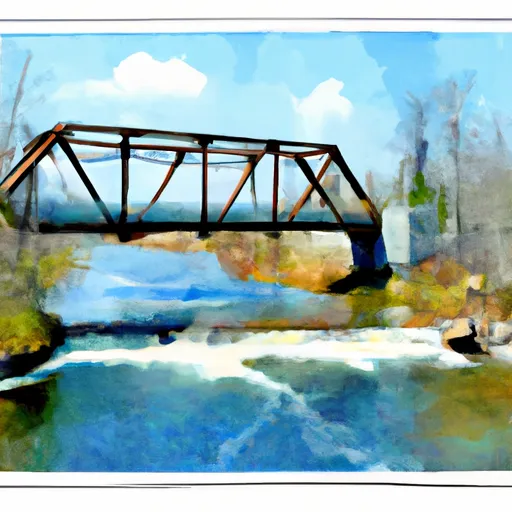
 The Iron Bridge Of County Road 7
To Lake Bemidji