Summary
The Whitewater River Run from the Iron Bridge of County Road 7 to Lake Bemidji in Minnesota is a popular destination for kayakers and canoeists. The ideal streamflow range for this run is between 200 and 500 cubic feet per second (cfs), with higher flows being more challenging and lower flows requiring more portages. The class rating for this run ranges from Class I to Class III, with some rapids and obstacles such as ledges, drops, and standing waves.
The segment mileage for this run is approximately 13 miles, taking paddlers through scenic forested areas and some rocky sections. Paddlers should be aware of specific river rapids and obstacles such as the Pinball Rapids, the Boiling Kettle, and the S Bend Rapids. These rapids can be challenging, especially at higher flows, and require proper skills and equipment.
Specific regulations to the area include a permit system for overnight camping and a limit on the number of permits issued per night. Paddlers are also required to follow Leave No Trace principles and pack out all trash. In addition, motorized watercraft are not allowed on this section of the river.
°F
°F
mph
Wind
%
Humidity
15-Day Weather Outlook
River Run Details
| Last Updated | 2025-11-21 |
| River Levels | 287 cfs (3.43 ft) |
| Percent of Normal | 85% |
| Status | |
| Class Level | iii |
| Elevation | ft |
| Run Length | 13.0 Mi |
| Streamflow Discharge | cfs |
| Gauge Height | ft |
| Reporting Streamgage | USGS 05200510 |
5-Day Hourly Forecast Detail
Nearby Streamflow Levels
 Mississippi River Near Bemidji
|
169cfs |
 Red Lake River Near Red Lake
|
385cfs |
 Straight River Near Park Rapids
|
46cfs |
 Lost River At Oklee
|
23cfs |
 Crow Wing River At Nimrod
|
279cfs |
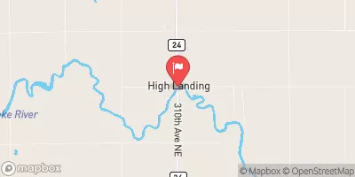 Red Lake River At High Landing Nr Goodridge
|
323cfs |


 Grant Lake Lane Southwest 998, Wilton
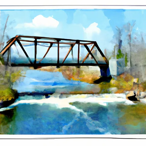 The Iron Bridge Of County Road 7
To Lake Bemidji