Summary
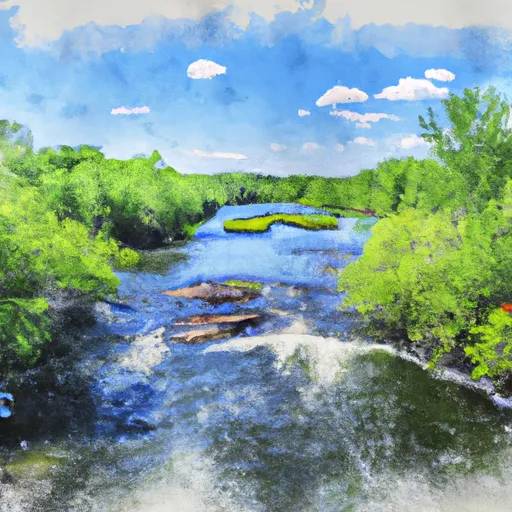
According to the latest available information, the boat ramp is about 20 feet wide and serviced by the Bigfork River. The Bigfork River is a popular spot for anglers and boaters, with a reputation for excellent fishing for walleyes, northern pike, and smallmouth bass.
The Itasca County boat ramp is designed to accommodate small to medium-sized watercraft, such as fishing boats, pontoon boats, and canoes or kayaks. Larger boats may have difficulty launching from this ramp due to the relatively narrow width. However, the ramp is well-maintained and considered a safe entry point for boaters.
In terms of regulations and restrictions, the Itasca County boat ramp is subject to local, state, and federal laws governing boating activities. Users of the ramp are required to adhere to all applicable rules and regulations regarding boat registration, safety equipment, and operating procedures. Additionally, there may be seasonal restrictions or closures in place, such as during winter months when the river may become too shallow or frozen to safely navigate.
Overall, the Itasca County boat ramp is a convenient and reliable access point for boaters and anglers in the Bigfork River area. Its location and quality make it a popular destination for those looking to enjoy the natural beauty and recreational opportunities of this region.
°F
°F
mph
Wind
%
Humidity
15-Day Weather Outlook
5-Day Hourly Forecast Detail
Area Streamflow Levels
| MISSISSIPPI RIVER AT GRAND RAPIDS | 1030cfs |
| MISSISSIPPI RIVER NEAR BEMIDJI | 169cfs |
| PRAIRIE RIVER NEAR TACONITE | 63cfs |
| BIG FORK RIVER AT BIG FALLS | 169cfs |

 Itasca County
 Lake Winnigigoshish To Blackwater Lake