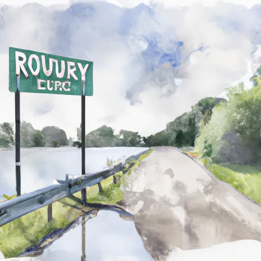
Ruttger Road 7907, Crow Wing County Boat Launch
Community Reviews
Been here? Share the conditions.
Reviews, ratings & photos are added in the free Snoflo iOS app — rate a spot, tag the conditions, and your visit is verified by location. Add or manage your reviews from the app.
Ruttger Road 7907, Crow Wing County
According to the latest information available, the Ruttger Road 7907 boat ramp is a concrete ramp that is 20 feet wide. It is suited for launching and retrieving small to medium-sized watercraft, including boats, canoes, kayaks, and jet skis. The ramp has a gradual slope, which makes it easy to launch and retrieve watercraft of different sizes.
The Upper South Long Lake is approximately 1,293 acres in size and has a maximum depth of 54 feet. It is home to a variety of fish species, including walleye, northern pike, largemouth bass, and panfish. The lake is a popular destination for recreation, including boating, fishing, swimming, and water sports.
In terms of regulations, the Upper South Long Lake has specific rules and regulations for boaters. All watercraft must have current registration, and boaters are required to follow all the rules and regulations set by the Minnesota Department of Natural Resources. Boaters are also required to follow safe boating practices, including wearing life jackets, avoiding alcohol while boating, and following speed limits and no-wake zones.
Overall, the Ruttger Road 7907 boat ramp provides easy access to the Upper South Long Lake, which is a popular destination for boating and fishing in Crow Wing County, Minnesota. It is a well-maintained ramp that can accommodate a variety of watercraft, making it a popular destination for boaters and anglers in the region.
Plan your launch down to the hour
Same weather feed Snoflo's iOS app uses -- updated continuously from NOAA / yr.no.
Next 5 days, hour by hour
Temperature line with weather symbols on top, snow + rain accumulation as columns, humidity as a dotted line.
5-day forecast table
Every 3 hours, broken out across temperature, snow, rain, humidity, and wind.
| Time | Condition | Temp (°F) | Snow (in) | Rain (in) | Humidity (%) | Wind (mps) | Wind dir |
|---|---|---|---|---|---|---|---|
| Loading detailed forecast… | |||||||
15-day temperature & precipitation
Daily temperatures, snow, and rain projected over the next two weeks.
Area streamflow levels
USGS streamgauges around Ruttger Road 7907, Crow Wing County -- the same readings that determine whether your launch is safe and your boat is the right craft.
| Streamgauge | Discharge | View |
|---|---|---|
| Mississippi River At Brainerd | 1,480 cfs | → |
| Crow Wing River Near Pillager | 1,020 cfs | → |
| Mississippi River At Aitkin | 920 cfs | → |
| Crow Wing River At Nimrod | 207 cfs | → |
Plan a longer trip
The closest paddle runs, fishing spots, and other boat launches so you can extend a day on the water.
Boating safety & etiquette
- Check the conditions before you launch
- Use the streamflow numbers, weather, and wind forecast on this page. High-cfs whitewater requires whitewater-specific craft and skill.
- Wear your life jacket
- Statistically the single biggest survival factor in a boating incident. State law often requires one per passenger.
- File a float plan
- Tell someone on shore your put-in, take-out, and expected return time. Especially for multi-day or remote trips.
- Yield at the ramp
- Prep gear in the parking lot, not on the ramp. Launch and clear quickly so others can use the lane.
- Clean, drain, dry
- Inspect, clean, drain and dry your boat between waters to prevent the spread of aquatic invasive species.
Set push alerts in the Snoflo app
Save Ruttger Road 7907, Crow Wing County as a favorite, set a discharge threshold or a wind/precipitation alert, and the iOS app will push the moment conditions cross.
About Ruttger Road 7907, Crow Wing County
Can I launch a motorboat here?
Most Snoflo-tracked launches support motorboats; check the operator for any horsepower restrictions, paddle-only zones, or seasonal closures.
How fresh is the streamflow data?
USGS streamgauges report continuously (every 15 minutes); the table on this page pulls the latest reading at page load.
Is there a fee?
Many federal and state boat launches charge a day-use fee. Check the operator's site before driving out.
What boat is right for these conditions?
Use the nearby streamflow numbers and river-run panel on this page to gauge current conditions. Wider, slower water is friendly for casual paddling and powerboats; high-cfs whitewater requires whitewater-specific craft and skill.
Can I get alerts when conditions change?
Yes -- alerts are managed in the Snoflo iOS app. Favorite this launch, set a threshold (discharge, wind), and you'll get a push the moment it crosses.
Other launches near here
Snoflo-tracked boat launches within driving distance of Ruttger Road 7907, Crow Wing County.