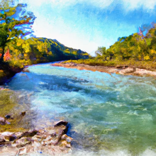
County Road 60-102 Carter County Boat Launch Report
Rate this placeLast Updated: February 4, 2026
Based on the latest information available, the boat ramp named County Road 60-102 Carter County in Missouri is a concrete boat ramp that is open to the public.
°F
°F
mph
Wind
%
Humidity
15-Day Weather Outlook
Summary
It is approximately 20 feet wide and can accommodate various types of watercraft, including small fishing boats, canoes, and kayaks. The boat ramp provides access to Black River, which is a popular destination for fishing, boating, and other water activities.
According to the Missouri Department of Conservation, Black River is a 125-mile-long river that flows through southeastern Missouri. It is known for its clear waters and diverse fish population, which includes species such as bass, catfish, and crappie. The river is also popular for canoeing and kayaking, with several outfitters in the area offering rentals and guided trips.
It is important to note that regulations regarding watercraft on Black River can vary depending on the section of the river and the specific body of water being accessed. Visitors should consult local authorities and review any applicable regulations before launching their boats or engaging in water activities.
Nearby Boat Launches
Hourly Weather Forecast
Area Streamflow Levels
| CURRENT RIVER AT VAN BUREN | 951cfs |
| BLACK RIVER AT LEEPER | 312cfs |
| LOGAN CREEK AT ELLINGTON | 4cfs |
| ELEVEN POINT RIVER NEAR BARDLEY | 357cfs |
| CURRENT RIVER AT DONIPHAN | 1420cfs |
| JACKS FORK AT EMINENCE | 145cfs |

 County Road 60-102 Carter County
 The Most Upstream Portion Of Ozark National Scenic Riverways To The Most Downstream Portion Of Ozark National Scenic Riverways