The Most Upstream Portion Of Ozark National Scenic Riverways To The Most Downstream Portion Of Ozark National Scenic Riverways Paddle Report
Last Updated: 2026-02-07
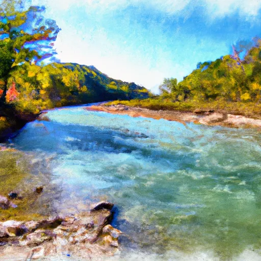
The Whitewater River Run in Missouri's Ozark National Scenic Riverways is a popular destination for kayakers and canoeists seeking an exciting and challenging experience.
Summary
The ideal streamflow range for the run is between 200 and 400 cubic feet per second (cfs), which allows for a good mix of rapids and calm stretches.
The run is divided into several segments, each with its own class rating and length. The most upstream portion, from Pulltite to Round Spring, is rated as a Class I-II and covers a distance of 10 miles. The next segment, from Round Spring to Two Rivers, is rated as a Class II-III and covers a distance of 18 miles. The final segment, from Two Rivers to the most downstream portion of Ozark National Scenic Riverways, is rated as a Class II and covers a distance of 7 miles.
Throughout the Whitewater River Run, there are various rapids and obstacles that require skill and experience to navigate, such as the "Buck Hollow Rapid" and the "Sulphur Springs Rapid." Additionally, the run is subject to specific regulations, including a prohibition on alcohol and a requirement for personal flotation devices to be worn at all times.
°F
°F
mph
Wind
%
Humidity
15-Day Weather Outlook
River Run Details
| Last Updated | 2026-02-07 |
| River Levels | 1730 cfs (3.52 ft) |
| Percent of Normal | 50% |
| Status | |
| Class Level | i-ii |
| Elevation | ft |
| Run Length | 101.0 Mi |
| Streamflow Discharge | cfs |
| Gauge Height | ft |
| Reporting Streamgage | USGS 07067000 |
5-Day Hourly Forecast Detail
Nearby Streamflow Levels
 Current River At Van Buren
|
1010cfs |
 Black River At Leeper
|
407cfs |
 Logan Creek At Ellington
|
2cfs |
 Jacks Fork At Eminence
|
212cfs |
 Eleven Point River Near Bardley
|
362cfs |
 Current River At Doniphan
|
1500cfs |
Area Campgrounds
| Location | Reservations | Toilets |
|---|---|---|
 Big Spring - Ozark National Scenic River
|
||
 Van Buren
|
||
 Watercress
|
||
 Watercress Recreation Area
|
||
 Big Spring Campgrounds
|
||
 Gooseneck
|


 The Most Upstream Portion Of Ozark National Scenic Riverways To The Most Downstream Portion Of Ozark National Scenic Riverways
 Conservation Area Current River
 Mule Hollow Glade Natural Area
 Ozark National Scenic Riverways