Summary
This boat ramp is maintained by the Bureau of Land Management (BLM) and is open year-round. The ramp is 18 feet wide and can accommodate boats of various sizes.
The Gibson Boating Site provides access to the Tiber Reservoir, a body of water located in the northern part of Montana. The reservoir covers an area of approximately 11,000 acres and is a popular spot for boating, fishing, and other water-related activities.
According to the BLM, the Tiber Reservoir is open to a variety of watercraft, including motorboats, sailboats, canoes, and kayaks. However, watercraft must comply with Montana state regulations, which include requirements for boat registration, safety equipment, and boater education.
In summary, the Gibson Boating Site is a concrete boat ramp located in Montana that provides access to the Tiber Reservoir. The ramp is 18 feet wide and can accommodate boats of various sizes. The Tiber Reservoir is open to a variety of watercraft, including motorboats, sailboats, canoes, and kayaks, as long as they comply with Montana state regulations.
°F
°F
mph
Wind
%
Humidity

 Gibson Boating Site
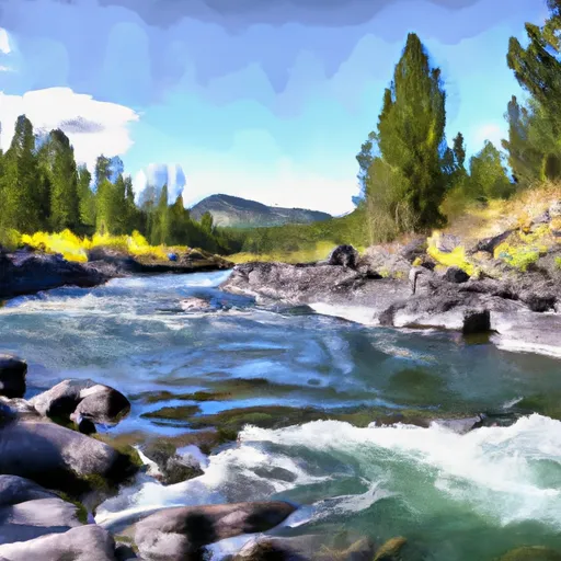
 Wilderness Boundary To South Fork Sun River, Sec. 26, T22N, R10W
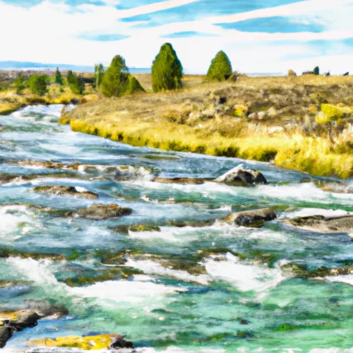
 Headwaters, Sec. 4, T18N, R10W To North Fork Sun River, Sec. 26, T22N, R10W
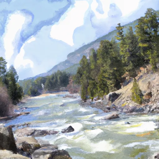
 Fool Creek, Sec. 24, T25N, R11W To Wilderness Boundary