Summary
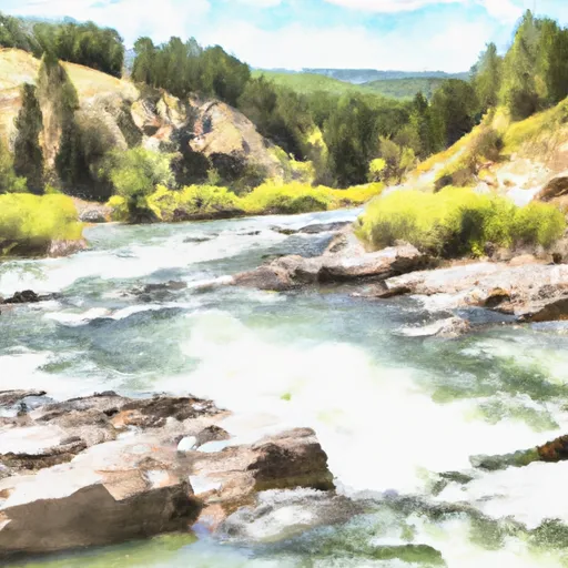
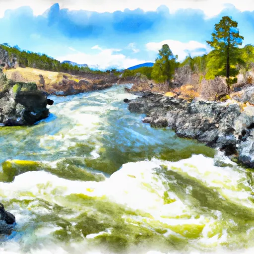
This boat ramp is situated on the banks of the Madison River, which is a popular fishing destination in Montana.
The JERRY CREEK BRIDGE BOAT RAMP is a concrete ramp that provides easy access to the Madison River. It is approximately 12 feet wide, which allows for multiple boats to be launched or retrieved at the same time. The ramp also has a parking area that can accommodate several vehicles and boat trailers.
The JERRY CREEK BRIDGE BOAT RAMP is open to a variety of watercraft, including motorized boats, canoes, kayaks, and rafts. However, it is important to note that the Madison River has specific regulations regarding watercraft use, so it is important to check the current regulations before launching any watercraft.
In summary, the JERRY CREEK BRIDGE BOAT RAMP is a concrete ramp located on the Madison River in Montana. It is approximately 12 feet wide and can accommodate a variety of watercraft, including motorized boats, canoes, kayaks, and rafts. It is important to check the current regulations before launching any watercraft on the Madison River.
°F
°F
mph
Wind
%
Humidity

 JERRY CREEK BRIDGE BOAT RAMP
 DIVIDE BRIDGE BOAT RAMP
 DICKIE BRIDGE BOAT RAMP
 EAST BANK BOAT RAMP
 MAIDEN ROCK BOAT RAMP
 Sec 15, T2S, R10W To Lion Cr, Sec. 4, T3S, R11W
 Big Hole River