Summary
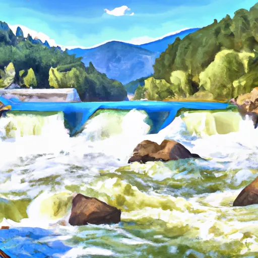
It is a concrete boat ramp that provides access to the West Fork Reservoir.
According to the Montana Fish, Wildlife & Parks website, the West Fork Boating Site is 16 feet wide and provides access to the West Fork Reservoir, which covers an area of 213 acres. The water body is open to non-motorized boats, electric motors, and gas-powered boats with a maximum horsepower of 10.
The site also has a parking area, restroom facilities, and a picnic area for visitors to enjoy. It is maintained by the Montana Fish, Wildlife & Parks and is open year-round, weather-permitting.
In conclusion, the West Fork Boating Site boat ramp is a concrete ramp that services the West Fork Reservoir in Montana. It is 16 feet wide and is open to non-motorized boats, electric motors, and gas-powered boats with a maximum horsepower of 10. It is maintained by the Montana Fish, Wildlife & Parks and is open year-round.

 West Fork Boating Site
 Nez Perce Fork Bitterroot River, Sec. 26, T1S, R22W To Painted Rocks Dam, Sec. 26, T1S, R22W