Summary
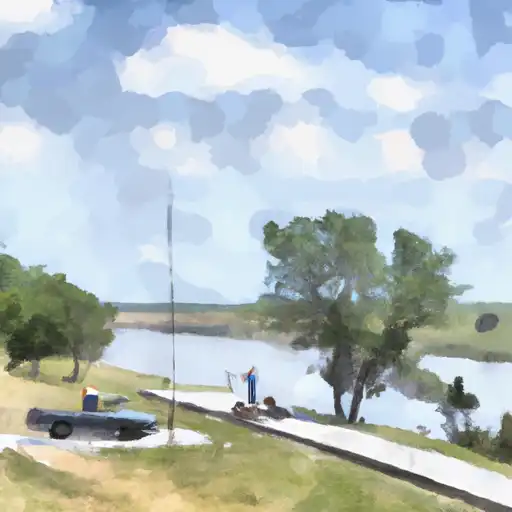
It services the Maxwell Lake, which is located in the central part of the state. The lake is a reservoir created by the Maxwell Dam, which was built on the Platte River.
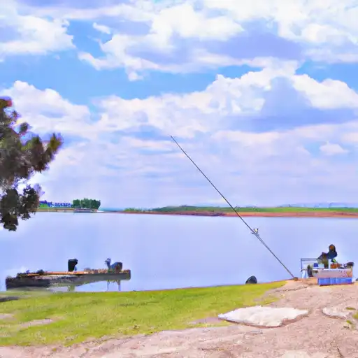
The West Maxwell boat ramp is suitable for launching small boats, canoes, and kayaks. However, larger boats may have difficulty launching due to the limited width of the ramp. The water in the Maxwell Lake is clear and suitable for fishing, swimming, and boating.
It is important to note that regulations and restrictions on the use of the boat ramp and the Maxwell Lake may vary depending on the season and the local authorities. Therefore, it is advisable to check the latest information before planning a trip to this location.
°F
°F
mph
Wind
%
Humidity

 West Maxwell
 Maxwell Rest Stop DOR
 Fremont Slough
 North Platte I-80 City Lake