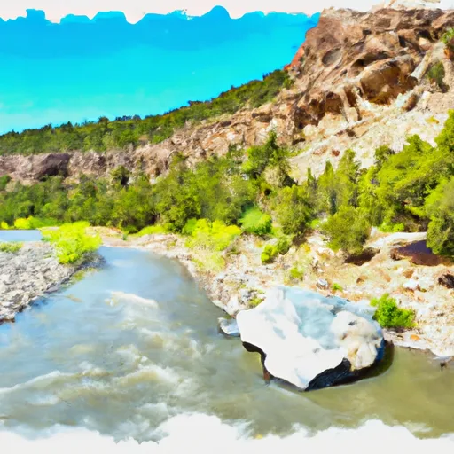
CHAVEZ CANYON BOAT LAUNCH

Put Ins Take Outs Weather


Chavez Canyon Boat Launch is a concrete boat ramp located in northern New Mexico, specifically in the Carson National Forest near the town of Tierra Amarilla. The latitude and longitude coordinates for this boat ramp are 36.364391, -106.680934.

This boat ramp is a single-lane ramp that offers boaters access to the Chama River, which is a popular destination for fishing, kayaking, and rafting. The boat ramp is managed by the United States Forest Service and is open year-round, weather permitting.

According to the latest information available, the Chavez Canyon Boat Launch is approximately 20 feet wide and can accommodate small to medium-sized watercraft. There is no specific information available on the maximum weight or length of boats that can be launched from this ramp.

The Chama River, which is serviced by the Chavez Canyon Boat Launch, is a popular destination for fly fishing and is home to a variety of fish species such as brown and rainbow trout. In addition to fishing, the river is also suitable for kayaking and rafting; however, it is recommended that boaters check the water levels before launching.

Overall, the Chavez Canyon Boat Launch is a well-maintained concrete boat ramp that provides access to the scenic Chama River in northern New Mexico. It is suitable for small to medium-sized watercraft and offers opportunities for fishing, kayaking, and rafting.

Flood Watch
Until 2024-07-27T00:00:00-06:00 National Weather Service
* WHAT...Flash flooding caused by excessive rainfall continues to be possible. * WHERE...Portions of central, north central, northeast, and west central New Mexico, including the following areas, in central New Mexico, Central Highlands, Estancia Valley, Lower Rio Grande Valley, Middle Rio Grande Valley including the Albuquerque Metro Area, San Agustin Plains and Adjacent Lowlands, Sandia and Manzano Mountains including Edgewood and South Central Highlands. In north central New Mexico, Espanola Valley, Far Northwest Highlands, Glorieta Mesa Including Glorieta Pass, Jemez Mountains, Northern Sangre de Cristo Mountains, Northwest Highlands, Santa Fe Metro Area, Tusas Mountains Including Chama and Upper Rio Grande Valley. In northeast New Mexico, Northeast Highlands. In west central New Mexico, San Francisco River Valley, Southwest Mountains, West Central Highlands and West Central Mountains. * WHEN...Until midnight MDT tonight. * IMPACTS...Excessive runoff may result in flooding of rivers, creeks, streams, and other low-lying and flood-prone locations. Flooding may occur in poor drainage and urban areas. * ADDITIONAL DETAILS... - Locally heavy rainfall at rates of 1-2 inches per hour may result in rapid runoff and flash flooding. Locations where the soil is saturated due to recent heavy rainfall will be especially vulnerable to flash flooding, as well as locations with complex terrain, urban areas, and recent burn scars, including the Hermits Peaks/Calf Canyon and South Fork/Salt burn scars. - http://www.weather.gov/safety/flood

July 26, 2024

°F

°F

mph

Windspeed

%

Humidity

Regional Streamflow

3

Cubic Feet Per Second

614

Cubic Feet Per Second

108

Cubic Feet Per Second

374

Cubic Feet Per Second

Explore the Interactive Map

View recreational hotspots like fishing, camping, and parks, alongside climate-related data such as river levels, snowpack, and weather forecasts. Enjoy 3D mapping for an immersive experience, and switch to satellite view for a detailed look at your favorite spots. Simply click, explore, and discover nature like never before!

5-Day Weather Forecast

16-Day Weather Forecast

Nearby Camping & Amenities

Camping Area Campsites Reservations Toilets Showers Elevation
Ojito Wilderness Dispersed Numerous 6,002 ft
Vista Linda - Jemez Springs 13 5,859 ft
Cochiti - Cochiti Lake 60 5,543 ft
Paliza 30 6,809 ft
Kirtland AFB Military 72 5,439 ft
Isleta Lake RV 50 4,899 ft
Tetilla Peak - Cochiti Lake 51 5,553 ft
Cabezon Peak Wilderness Dispersed Numerous 6,235 ft
Ignacio Chavez SMA Dispersed Numerous 6,063 ft
Coronado Numerous 5,087 ft

Explore Nearby Places

El Vado Lake State Park


El Vado Lake State Park is located in north-central New Mexico, near the town of Tierra Amarilla. The park is a popular destination for outdoor enthusiasts, offering opportunities for camping, fishing, boating, hiking, and wildlife viewing. One of the main attractions at El Vado Lake State Park is the lake itself, which covers over 3,000 acres and is stocked with rainbow trout, brown trout, kokanee salmon, and other fish species. The park also features two marinas where visitors can rent boats, kayaks, and other watercraft. In addition to the lake, the park has several hiking trails that offer scenic views ...