Summary
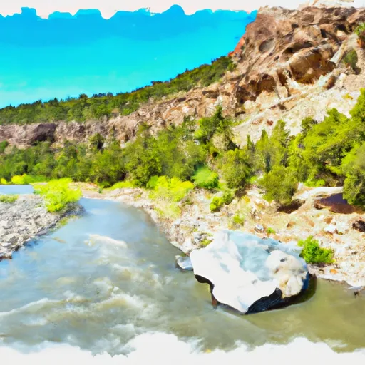
The ideal streamflow range for this segment of the river is between 400 and 800 cubic feet per second (cfs), offering Class III and IV rapids with a segment mileage of approximately 7 miles.
The river features numerous rapids and obstacles, including "Hole in the Wall," "Squeeze Play," and "Pinball." These challenging rapids require experienced navigational skills and proper safety gear. Additionally, it is important to note that this section of the river runs through private land, making it essential to respect the landowners' boundaries.
Regulations in the area include a required permit from the Bureau of Land Management, which must be obtained before accessing the river. It is also mandatory to wear a personal flotation device (PFD) at all times while on the river. Camping is only permitted in designated areas, and all waste must be packed out.
In summary, the Private Land Boundary Below Canjilon To Nf Boundary Whitewater River Run offers thrilling Class III and IV rapids over a 7-mile segment, with an ideal streamflow range of 400-800 cfs. It is important to respect private land boundaries and obtain necessary permits while adhering to safety regulations, including wearing a PFD at all times.
°F
°F
mph
Wind
%
Humidity
15-Day Weather Outlook
River Run Details
| Last Updated | 2026-02-07 |
| River Levels | 1030 cfs (7.32 ft) |
| Percent of Normal | 84% |
| Status | |
| Class Level | iii |
| Elevation | ft |
| Streamflow Discharge | cfs |
| Gauge Height | ft |
| Reporting Streamgage | USGS 08286500 |
5-Day Hourly Forecast Detail
Nearby Streamflow Levels
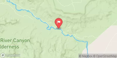 Rio Chama Above Abiquiu Reservoir
|
86cfs |
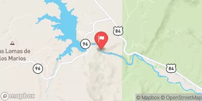 Rio Chama Below Abiquiu Dam
|
42cfs |
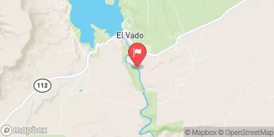 Rio Chama Below El Vado Dam
|
93cfs |
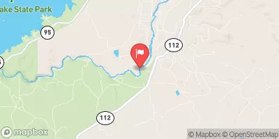 Rio Chama Near La Puente
|
53cfs |
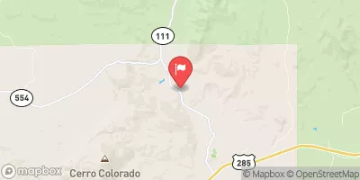 Rio Ojo Caliente At La Madera
|
23cfs |
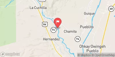 Rio Chama Near Chamita
|
66cfs |
Area Campgrounds
| Location | Reservations | Toilets |
|---|---|---|
 Echo Campground
|
||
 Echo Amphitheater
|
||
 Riana Campground
|
||
 Riana - Abiquiu Reservoir
|
||
 Rio Chama Campground
|
||
 Rio Chama Campground, Small Group Sites
|


 Private Land Boundary Below Canjilon To Nf Boundary