Summary
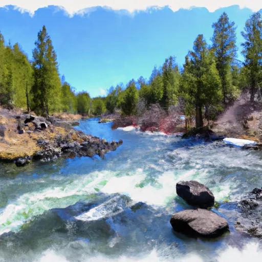
This boat ramp provides access to the Deschutes River, which is a popular destination for fishing, kayaking, and other water-based activities.
According to the latest information available, Cinder Hill Boating Site (South) is a concrete boat ramp that is approximately 16 feet wide. It is a single-lane ramp that can accommodate smaller watercraft, such as canoes, kayaks, and small fishing boats.
The Deschutes River, which this boat ramp services, is a popular destination for fishing enthusiasts, particularly those interested in catching trout and steelhead. The river is also suitable for kayaking and other water-based activities, although visitors are advised to check the local conditions before venturing out onto the water.
In terms of regulations, the use of motorized boats on the Deschutes River is limited to certain sections of the river, and specific rules and regulations apply. Visitors should check the latest information before using the Cinder Hill Boating Site (South) and the Deschutes River.
Overall, Cinder Hill Boating Site (South) is a well-maintained boat ramp that provides easy access to the Deschutes River. Its location and size make it suitable for smaller watercraft, and visitors can enjoy fishing, kayaking, and other water-based activities in this scenic part of Oregon.
°F
°F
mph
Wind
%
Humidity

 Cinder Hill Boating Site (South)
 Deschutes Nf Boundary To Paulina Lake