Summary
Foster Bar is a boat ramp located in the state of Oregon, USA. It is situated at a latitude of 42.63280106 and a longitude of -124.04883575. The boat ramp is located on the Rogue River, which is a popular destination for boating and fishing enthusiasts.
The Foster Bar boat ramp is a concrete ramp that is approximately 20 feet wide. It is suitable for launching a variety of boats, including motorboats, kayaks, and canoes. The ramp is also equipped with a parking area for vehicles and trailers.
The Rogue River is a well-known river that runs for approximately 215 miles from the Cascade Range to the Pacific Ocean. It is a popular destination for recreational activities such as fishing, boating, and swimming. Foster Bar boat ramp provides access to the lower section of the river, which is known for its scenic beauty and excellent fishing opportunities.
According to the latest information available, the Foster Bar boat ramp is open year-round, weather permitting. However, it is always advisable to check for any updates or closures before planning a trip. Additionally, visitors are advised to follow all safety guidelines and regulations when using the boat ramp and exploring the Rogue River.
°F
°F
mph
Wind
%
Humidity
15-Day Weather Outlook
Nearby Boat Launches
5-Day Hourly Forecast Detail
Area Streamflow Levels
| ROGUE RIVER NEAR AGNESS | 5030cfs |
| SOUTH FORK COQUILLE RIVER AT POWERS | 634cfs |
| ROGUE RIVER AT HWY 101 BRIDGE | 3580cfs |
| WEST FORK COW CREEK NEAR GLENDALE | 261cfs |
| ILLINOIS RIVER NEAR KERBY | 1250cfs |
| CHETCO RIVER NEAR BROOKINGS | 1520cfs |
River Runs
-
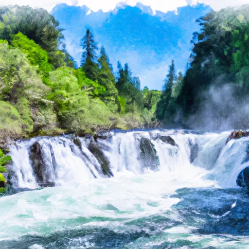 Coquille River Falls (Eastern Boundary) To Coquille River Falls (Western Boundary)
-
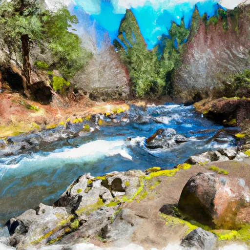 Headwaters To Confluence With Johnson Creek
-
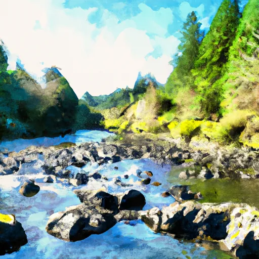 Confluence With Sucker Creek To Confluence With South Fork Coquille River
-
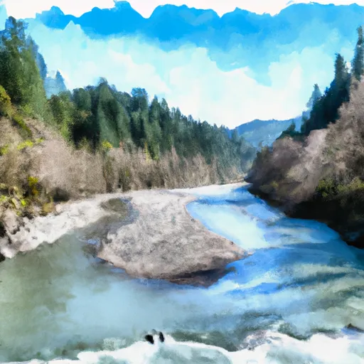 Confluence Of East And West Forks Indigo Creek To Confluence With Illinois River
-
 Landslide (Se1/4 Of Sec 33, T35S, R10W) To Confluence With West Indigo Creek
-
 West Indigo Lake (Sw1/4 Of Sec 26, T34S, R7W) To Confluence With East Fork Indigo

 Foster Bar