Landslide (Se1/4 Of Sec 33, T35s, R10w) To Confluence With West Indigo Creek Paddle Report
Last Updated: 2026-05-09
°F
°F
mph
Wind
%
Humidity
Get the latest Paddle Report, Streamflow Levels, and Weather Forecast for Landslide (Se1/4 Of Sec 33, T35s, R10w) To Confluence With West Indigo Creek in Oregon. Oregon Streamflow Levels and Weather Forecast
Summary
Regional Streamflow Levels
 Rogue River Near Agness
|
2420cfs |
 West Fork Cow Creek Near Glendale
|
36cfs |
 Illinois River Near Kerby
|
265cfs |
 South Fork Coquille River At Powers
|
132cfs |
 Applegate River Near Wilderville
|
177cfs |
 Rogue River At Grants Pass
|
2130cfs |
15-Day Long Term Forecast
River Run Details
| Last Updated | 2026-05-09 |
| River Levels | 3550 cfs (3.86 ft) |
| Percent of Normal | 51% |
| Status | |
| Class Level | None |
| Elevation | ft |
| Streamflow Discharge | cfs |
| Gauge Height | ft |
| Reporting Streamgage | USGS 14372300 |
5-Day Hourly Forecast Detail
Area Campgrounds
River Runs
-
 Landslide (Se1/4 Of Sec 33, T35S, R10W) To Confluence With West Indigo Creek
-
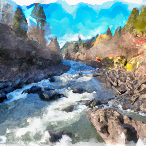 Confluence With Chief Creek To Confluence With Breezy Creek
-
 Confluence With Breezy Creek To Confluence With West Fork Indigo Creek
-
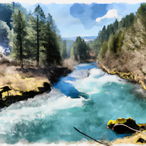 West Indigo Lake (Sw1/4 Of Sec 26, T34S, R7W) To Confluence With East Fork Indigo
-
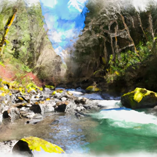 Howard Creek Seg A
-
 Howard Creek Seg B


 Grassy Flats
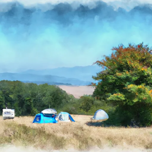 Grassy Flats Dispersed Campsites
 Bear Camp Campground
 Sturgeon (R25.00R - Forest Service)
 Lower Solitude (R26.70R - Forest Service)
 Upper Solitude (R26.30R - Forest Service)
 Cougar Lane Store & Lodge
 Argo Recreation Site and Boat Ramp
 National Wild and Scenic River Illinois, Oregon
 National Wild and Scenic River Elk, Oregon
 Wilderness Copper Salmon
 National Wild and Scenic River Rogue, Oregon
 Continue with Snoflo Premium