Summary
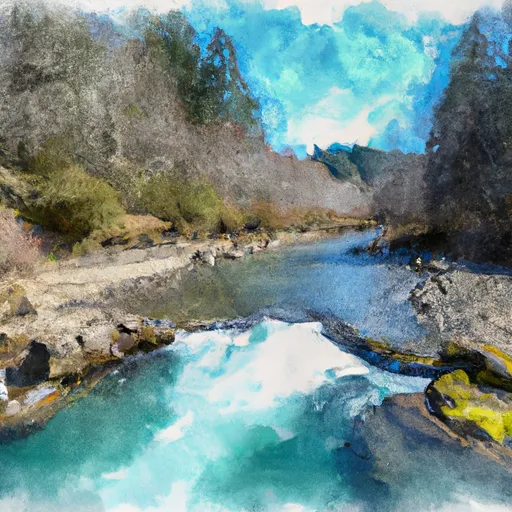
It is located at latitude 45.69189072 and longitude -123.81674957. The boat ramp is reportedly 16 feet wide, which is wide enough to accommodate smaller watercraft such as kayaks, canoes, and small fishing boats.
The Nehalem River is a popular destination for recreational boating in the area, and a variety of watercraft are permitted on its waters. According to the Oregon State Marine Board, boats up to 26 feet in length are allowed on the Nehalem River, including motorized boats, sailboats, and non-motorized boats such as kayaks, canoes, and stand-up paddleboards.
It should be noted that this information is based on the latest available sources and may be subject to change. It is always advisable to check local regulations and conditions before using any boat ramp or waterway.
°F
°F
mph
Wind
%
Humidity
15-Day Weather Outlook
5-Day Hourly Forecast Detail
Area Streamflow Levels
| NEHALEM RIVER NEAR FOSS | 1960cfs |
| WILSON RIVER NEAR TILLAMOOK | 862cfs |
| TRASK RIVER ABOVE CEDAR CREEK | 863cfs |
| NEHALEM RIVER NEAR VERNONIA | 236cfs |
| TUCCA CREEK NEAR BLAINE | 15cfs |
| NESTUCCA RIVER NEAR BEAVER | 1150cfs |

 Mohler Sand & Gravel
 Kilches River